
Coasts and archipelagos
Map of the Blekinge archipelago
The Blekinge archipelago stretches along much of the Blekinge coast. Its eastern part lies around Karlskrona, with larger islands such as Sturkö and Tjurkö and lots of smaller islands, islets and skerries.
Karlskrona was built as a naval town on the island of Trossö, and the Naval Port of Karlskrona has been a World Heritage site since 1998. The archipelago around it is also a biosphere reserve, Blekinge Arkipelag.
The map shows the archipelago from Ronneby in the west to Torhamn in the east, with Karlskrona almost in the middle. It is drawn in a style that recalls sea charts: white land, clear blue water and a dark blue coastline. The map has no place names.
The map suits anyone with a summer cottage on one of the islands, anyone who has paddled or sailed among the skerries, or anyone who grew up in Blekinge. It is also a fine gift for someone who has moved away and misses the sea in the south.
The map comes in three colours: Sea chart as in the picture, Night and Sand. Choose the colour, the size and a frame if you like on the poster's page. It is printed when you order and sent straight to you.
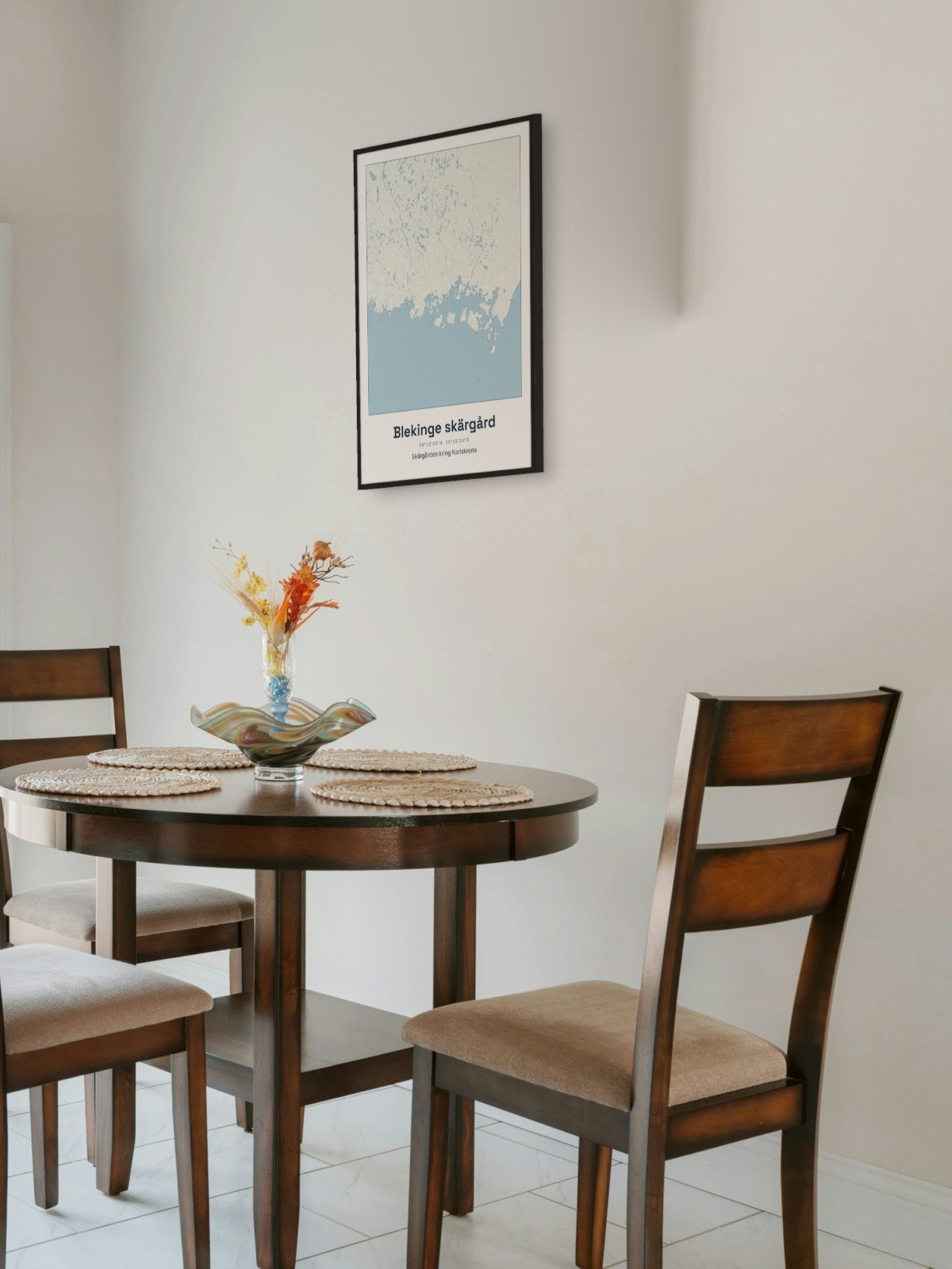
Framed on the wall 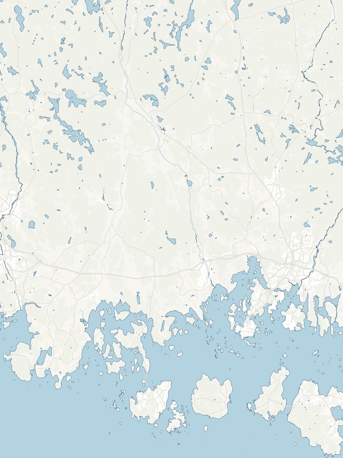
A close-up of the map