
Maps of Swedish places
The place you long for, on the wall at home
68 Swedish islands, archipelagos, coasts, towns and fells, drawn from Lantmäteriet's maps. In three colours, as good in the summer house by the sea as in a flat in town.
Posters from 299 kr, framed from 649 kr. 49 kr shipping.
As good in town as in the summer house
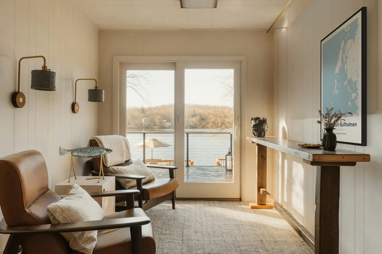
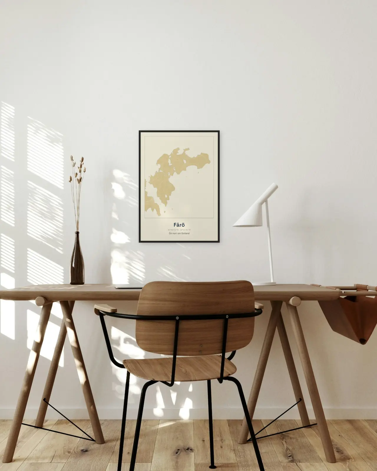
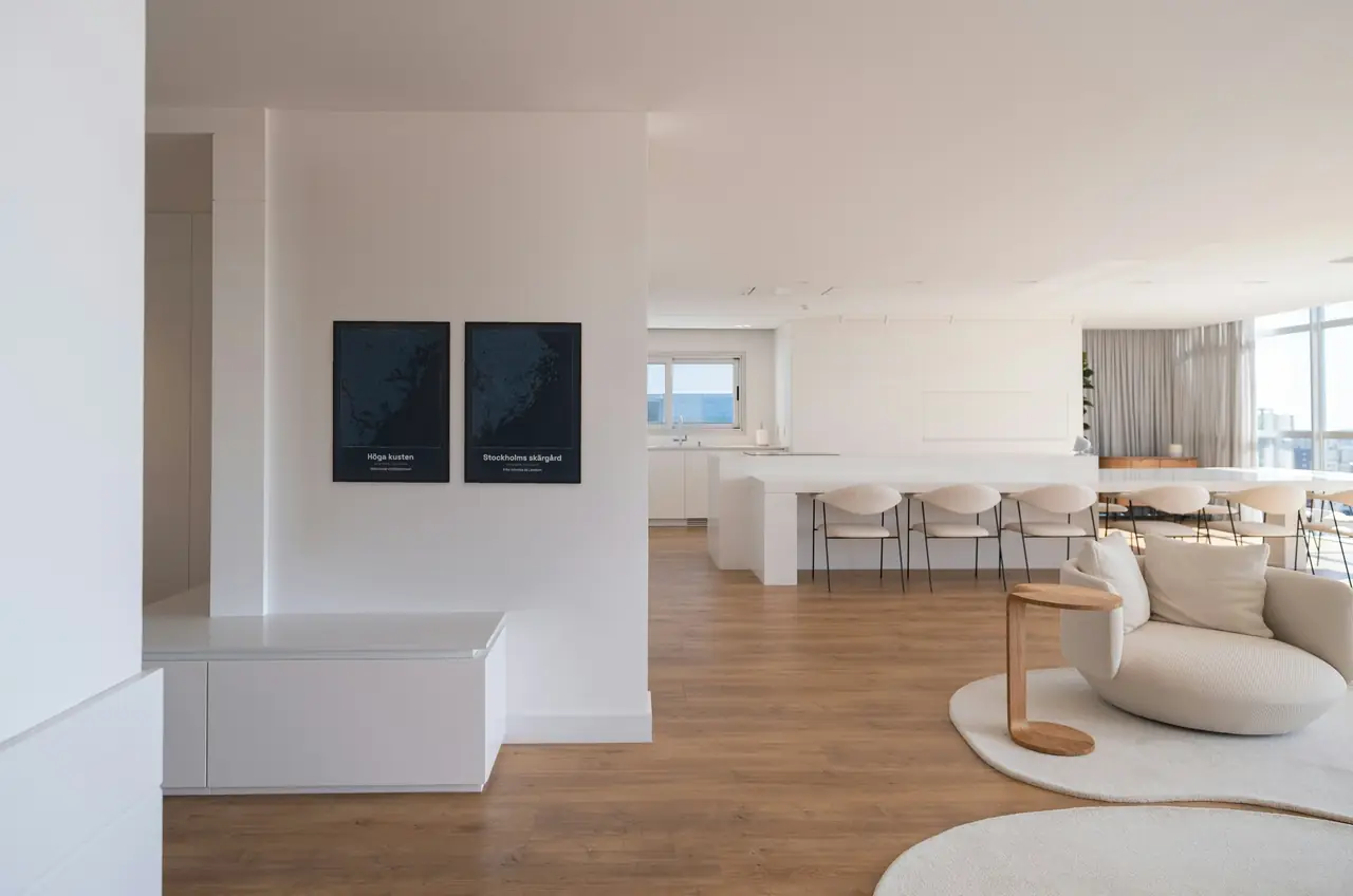
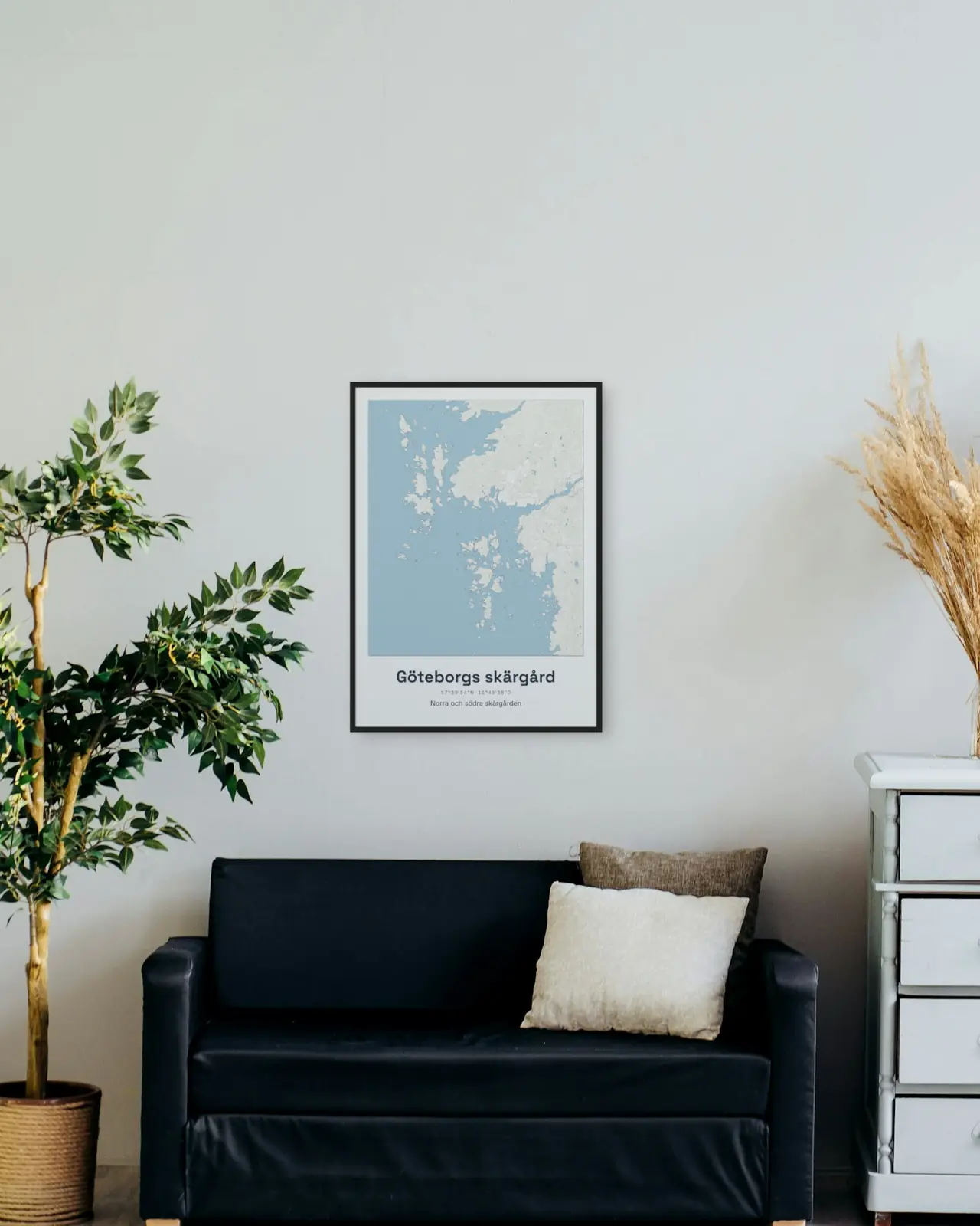
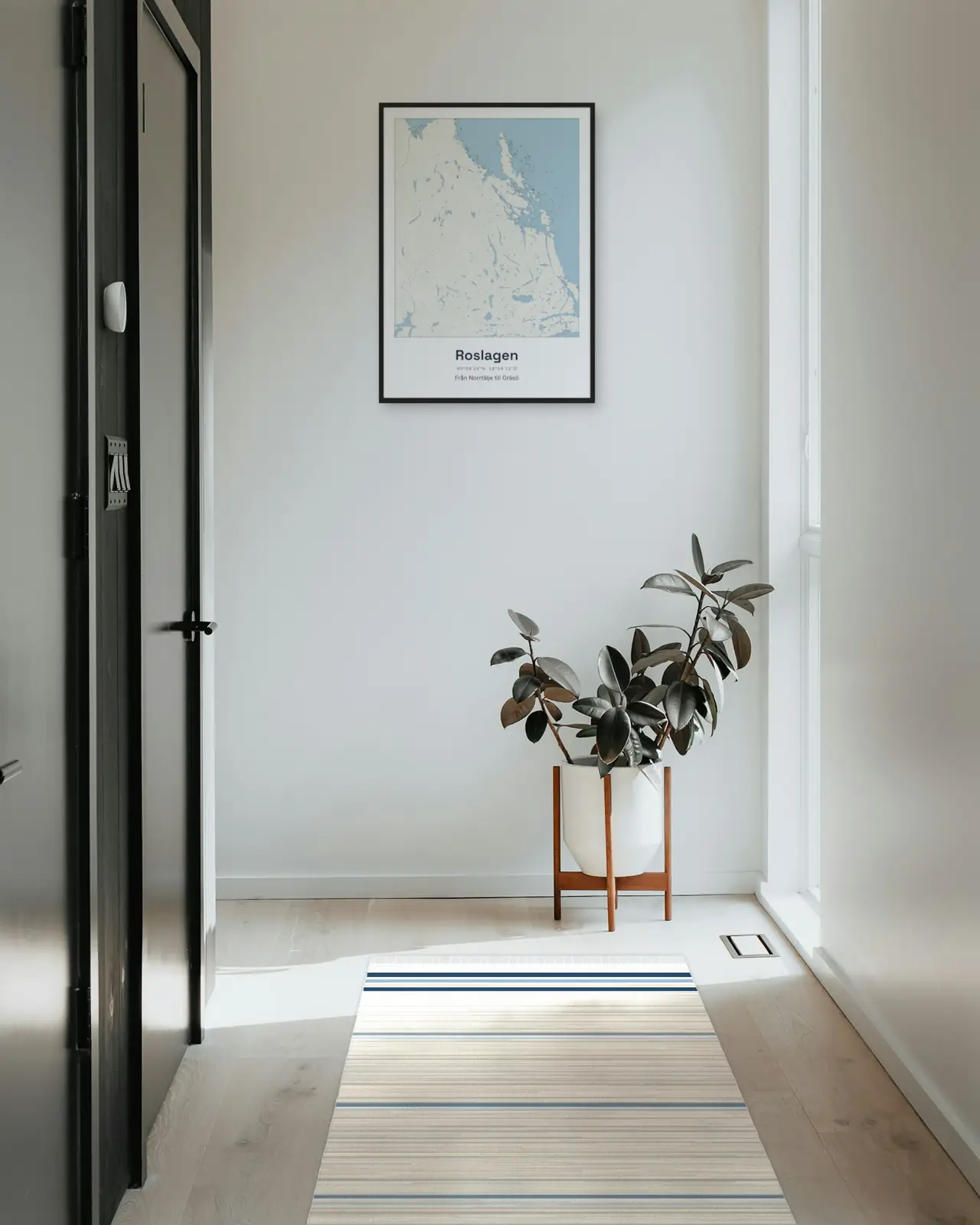
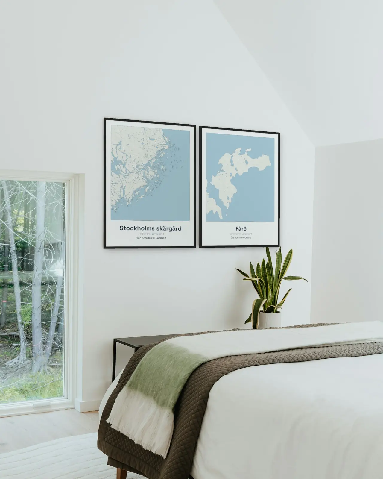
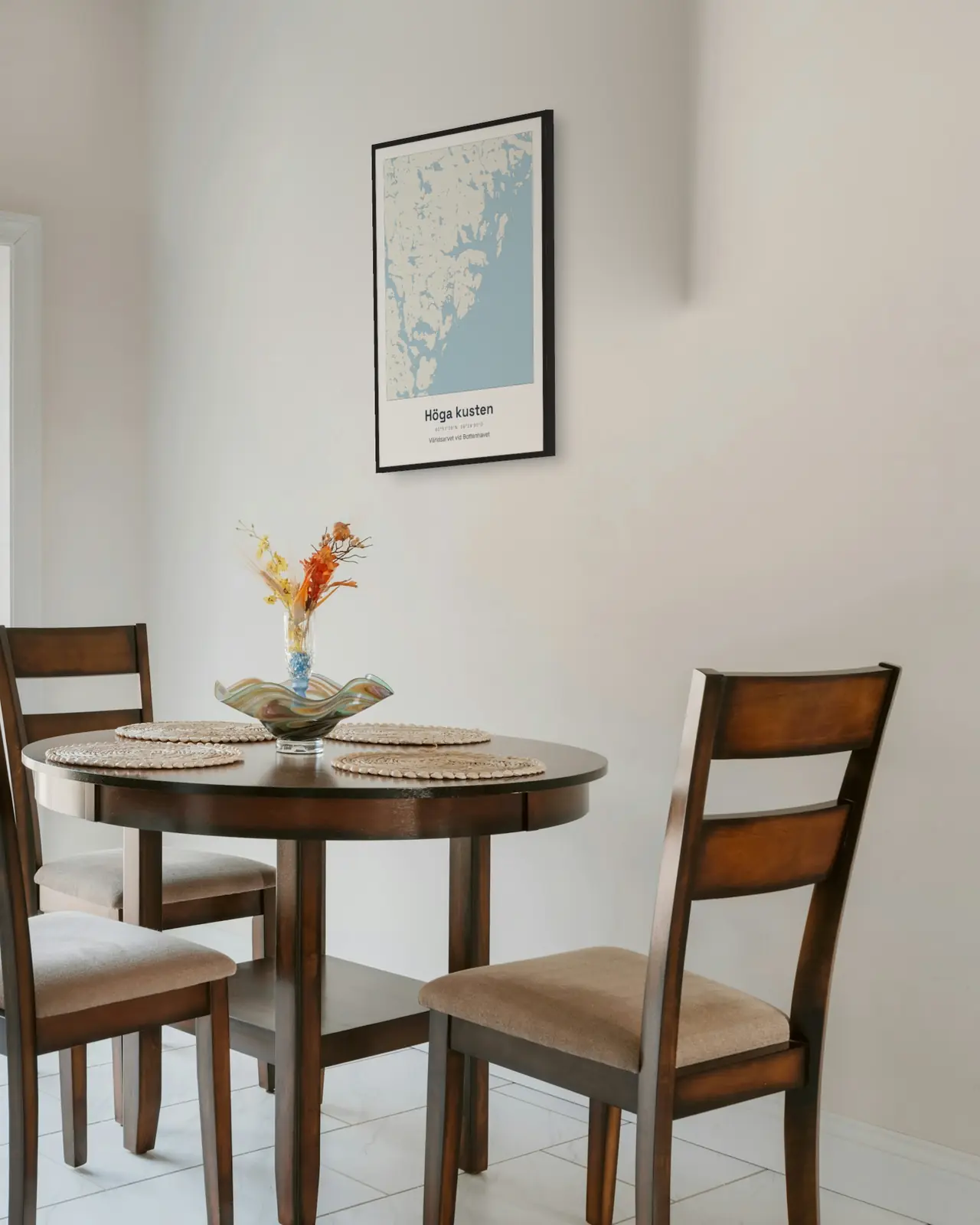
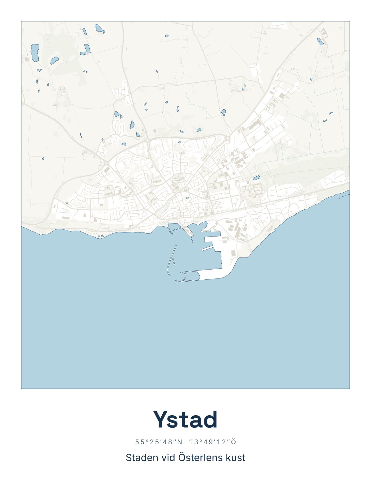
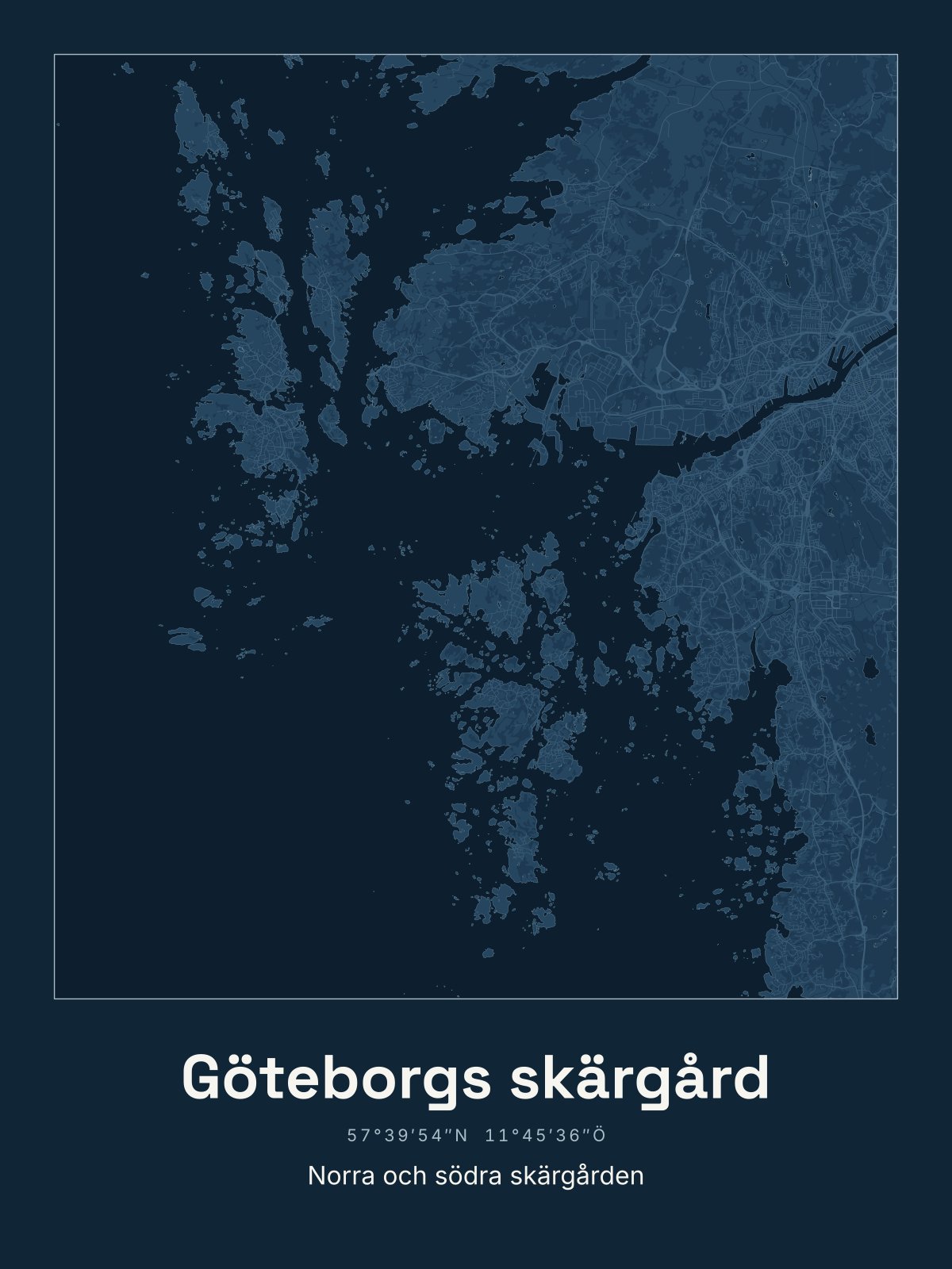
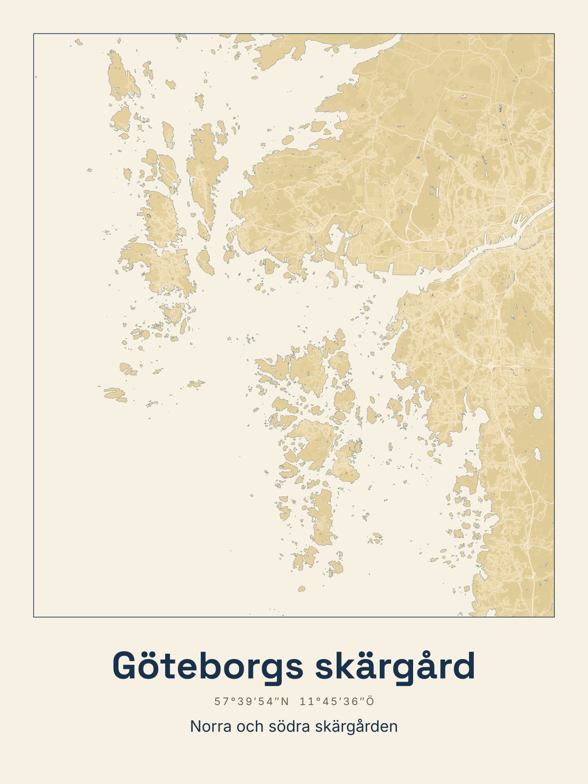
Sea chart in the light summer room, Night on a white wall in town, Sand with oak and wooden floors. Every map comes in all three colours.
The High Coast and The Stockholm archipelago · Night
The Gothenburg archipelago · Sea chart
Roslagen · Sea chart
The Stockholm archipelago and Fårö · Sea chart
The High Coast · Sea chart
Find your place
Choose where in Sweden the place is. The dots show all 68 places we have drawn, from the fells in the north to the Skåne coast.
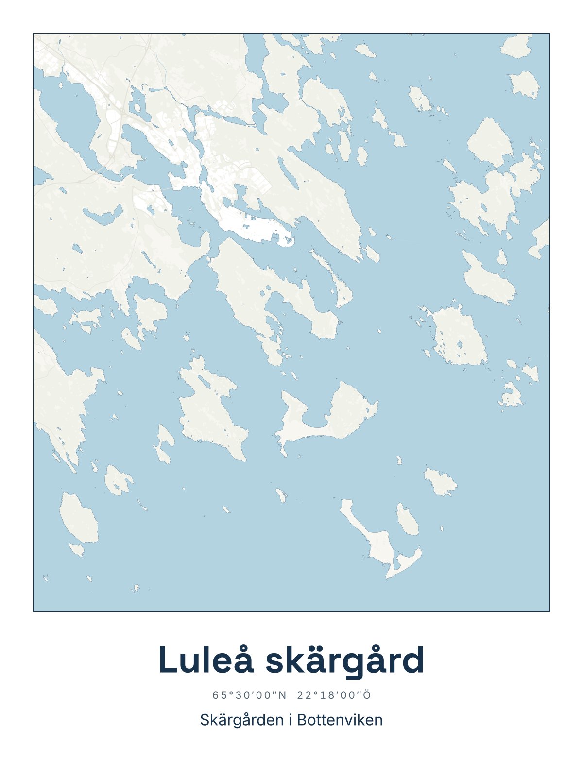
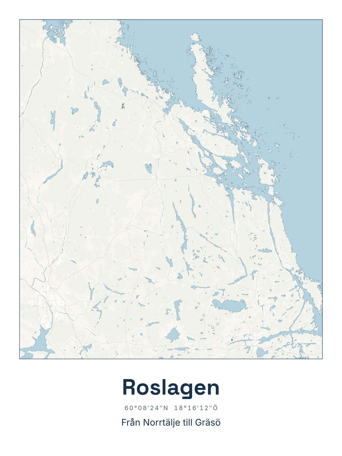
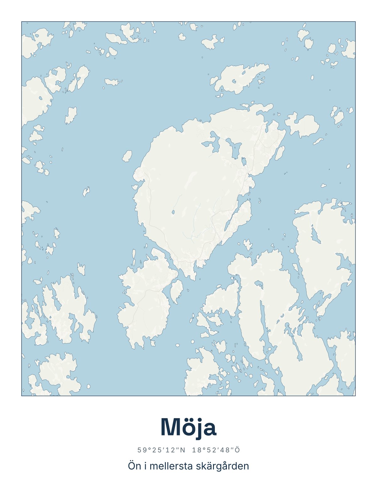
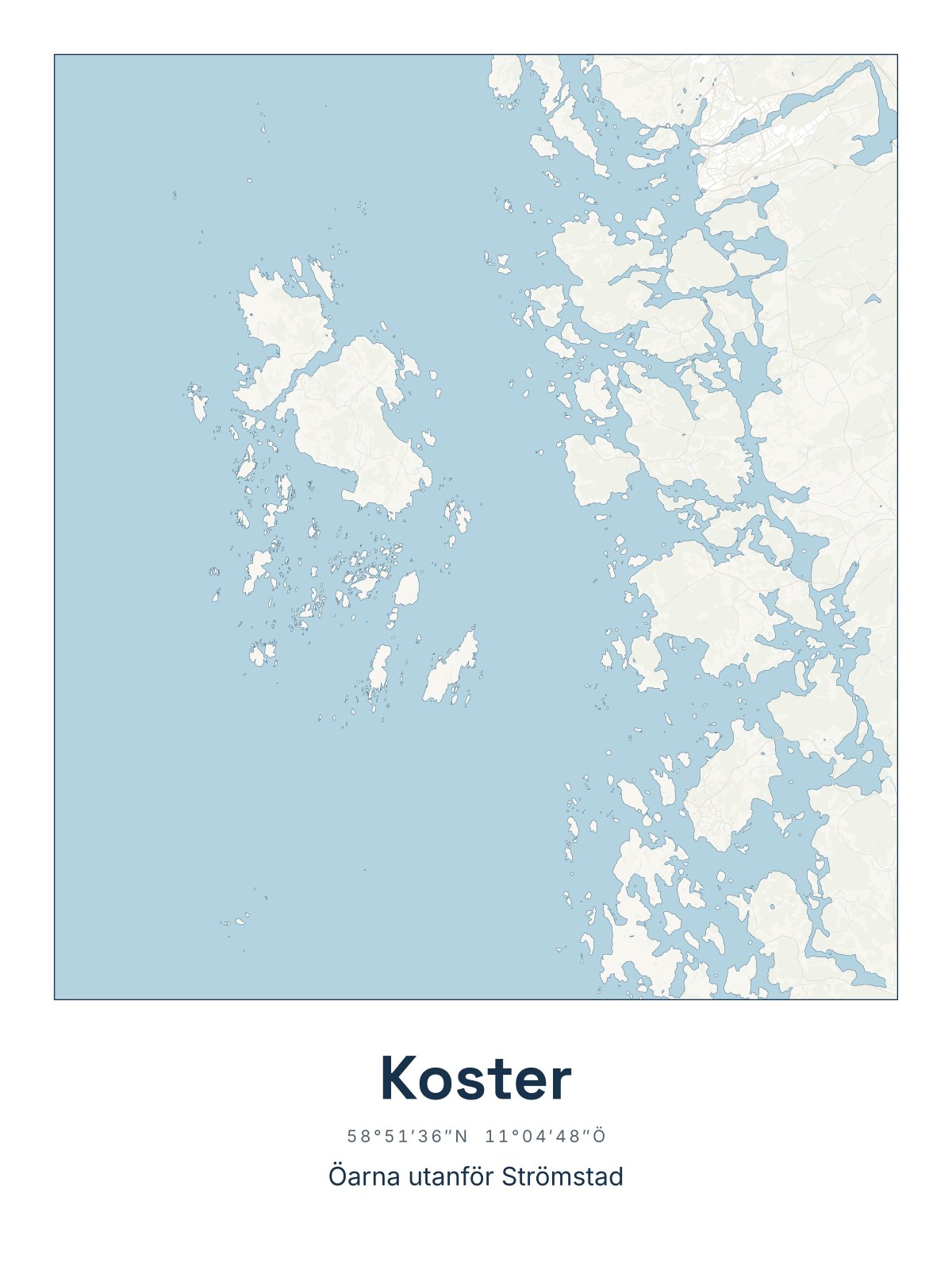
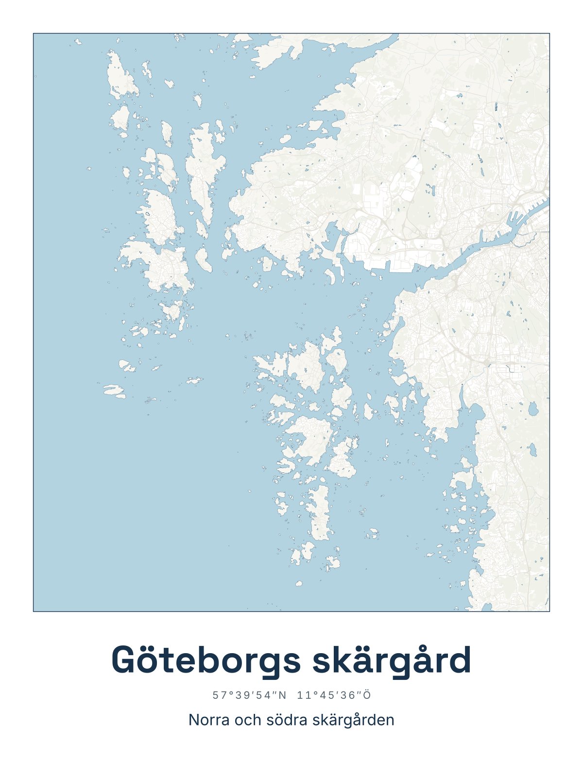
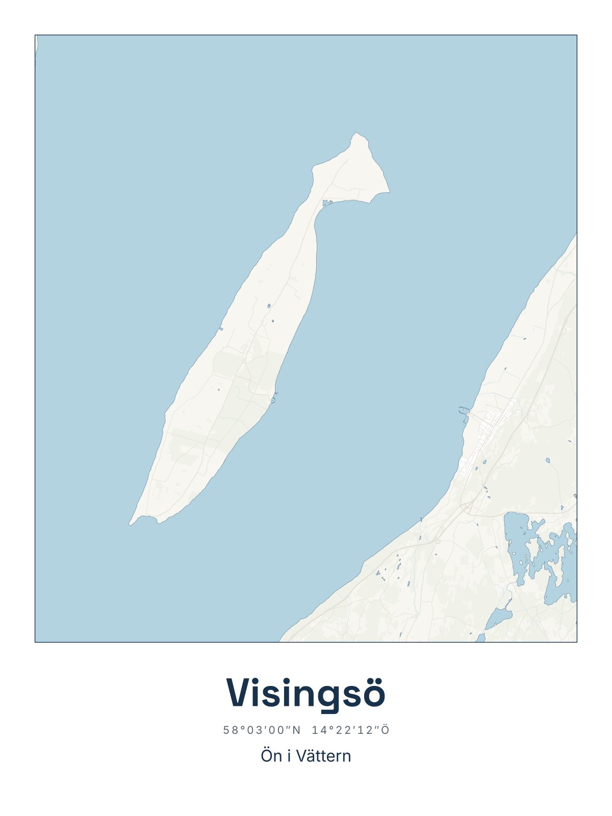
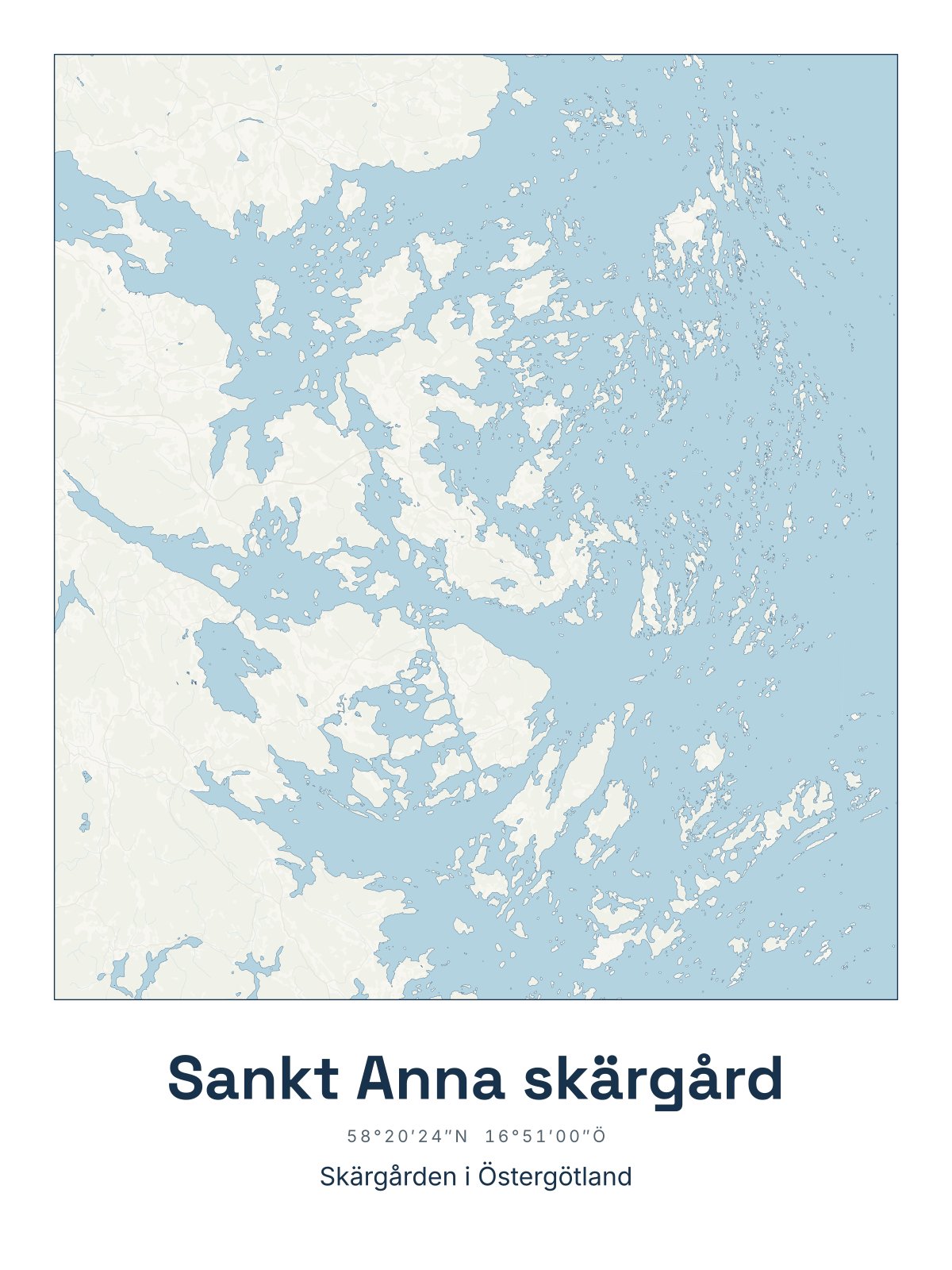
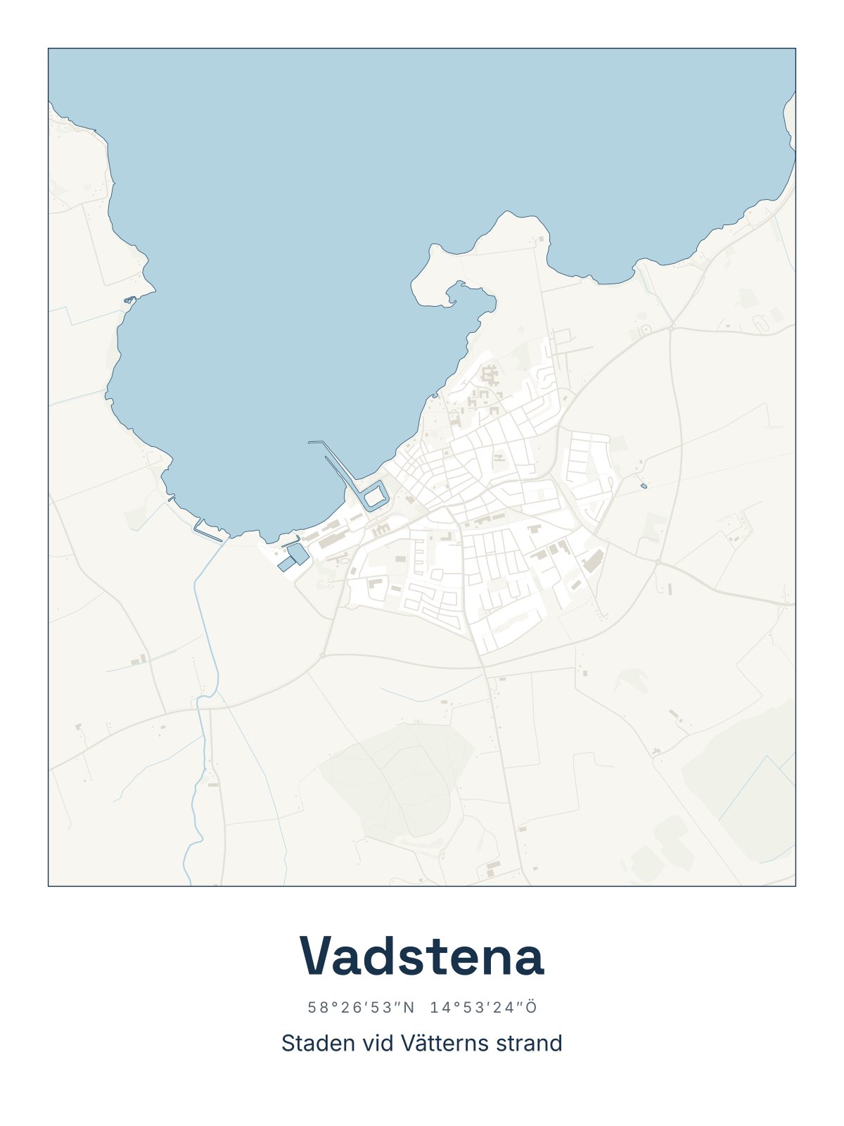
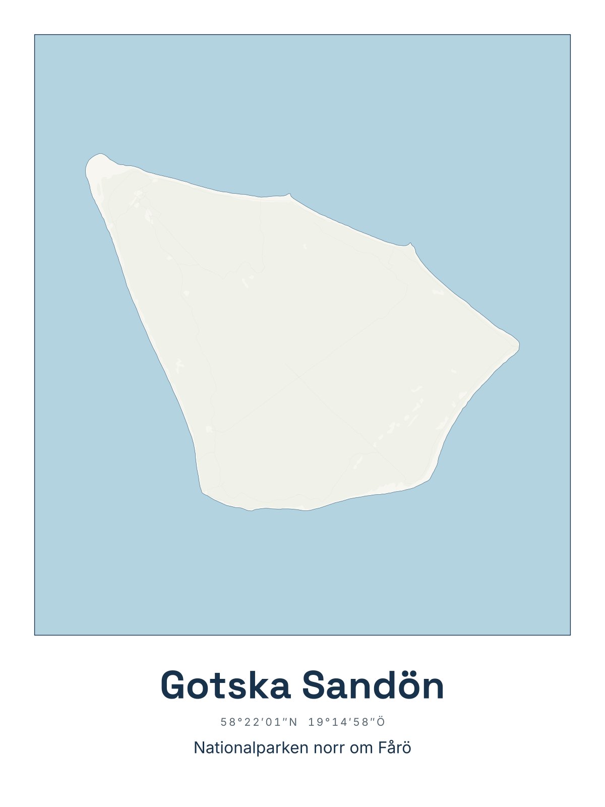
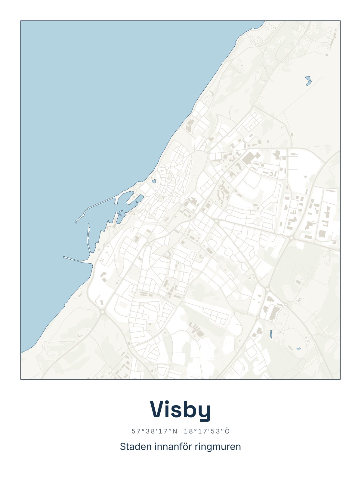
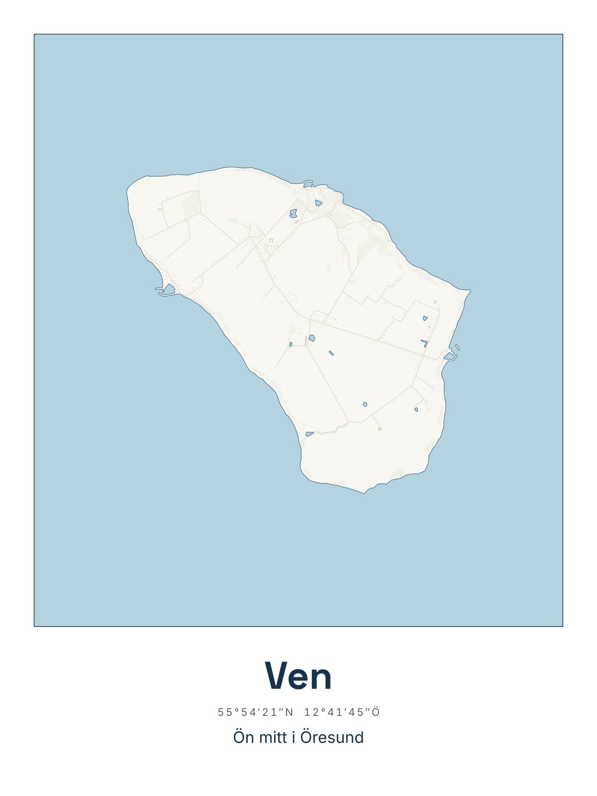
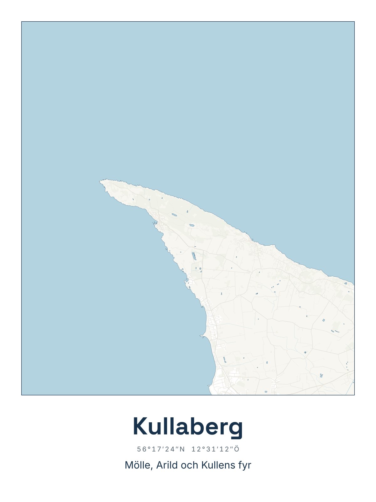
How the maps are drawn
Drawn from Lantmäteriet's maps
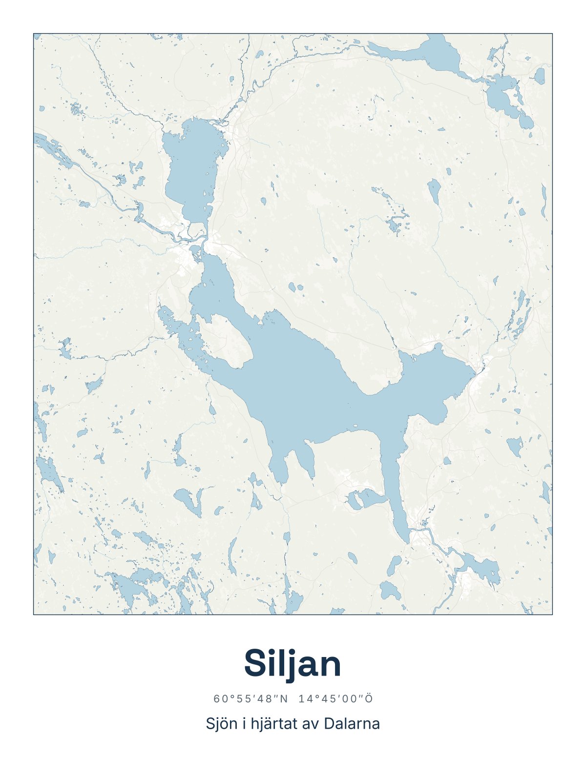
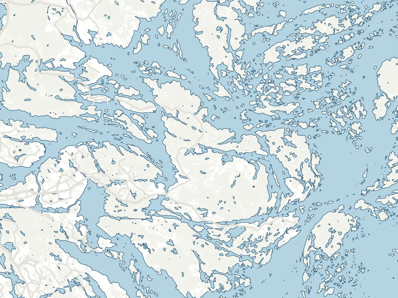
Each map is drawn from Lantmäteriet's map data of Sweden, the same base as the authorities' own maps. We leave out place names, symbols and grids, so only the land and the water are left.
Then you see what you recognise: the points, the bays, the sounds and the smallest skerries. The towns and many of the islands also come as Detailed, with the houses, the small roads and the paths.
A place to give
For someone who longs for an island, a coast or a home far away.
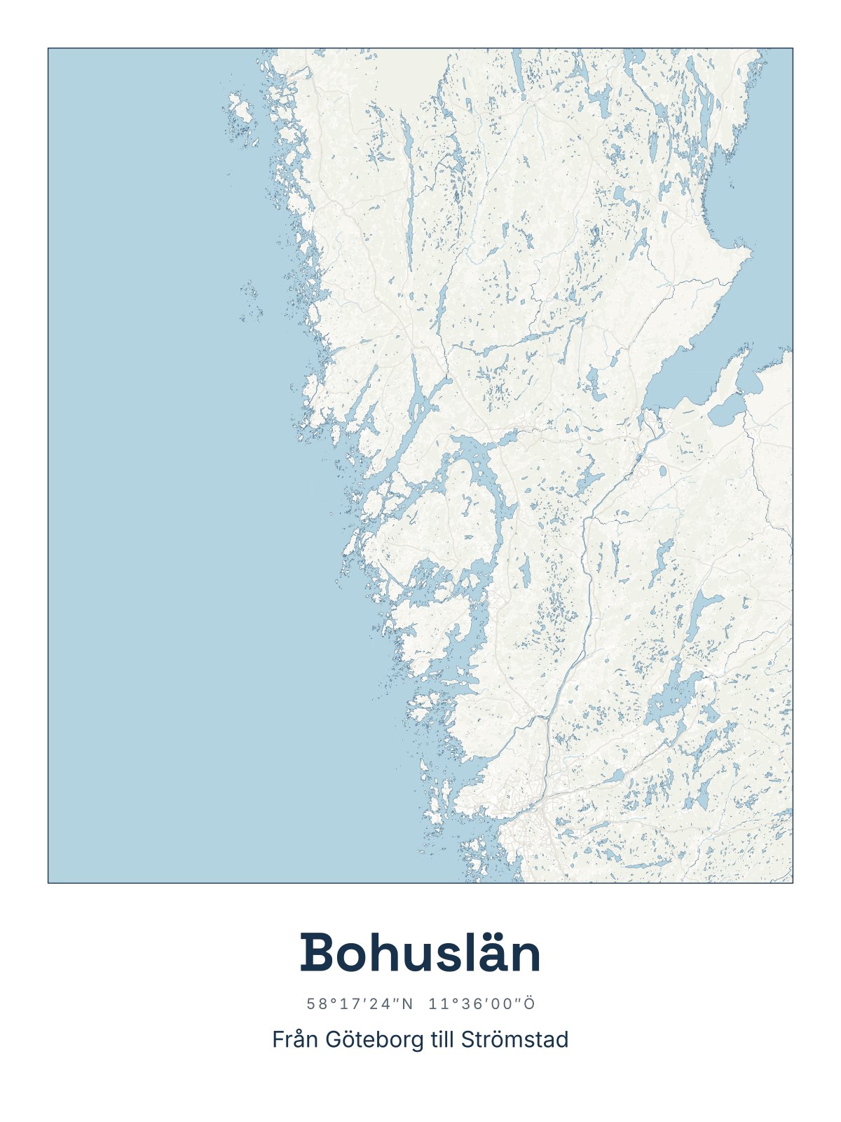 For the one with a summer house in BohuslänThe coast they long for all winter, from Gothenburg to Strömstad.
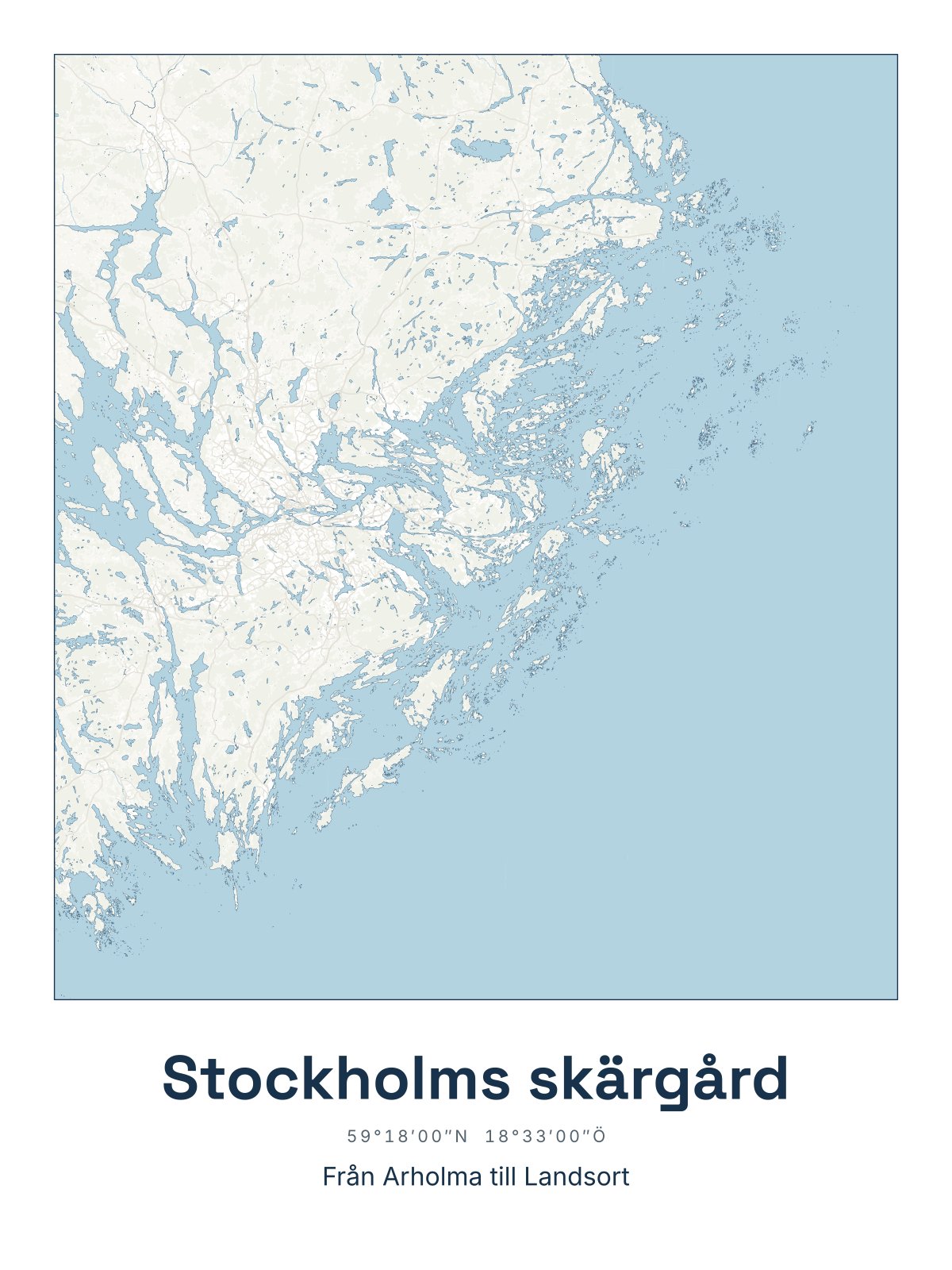 For the sailor who knows every skerryThe Stockholm archipelago from Arholma to Landsort.
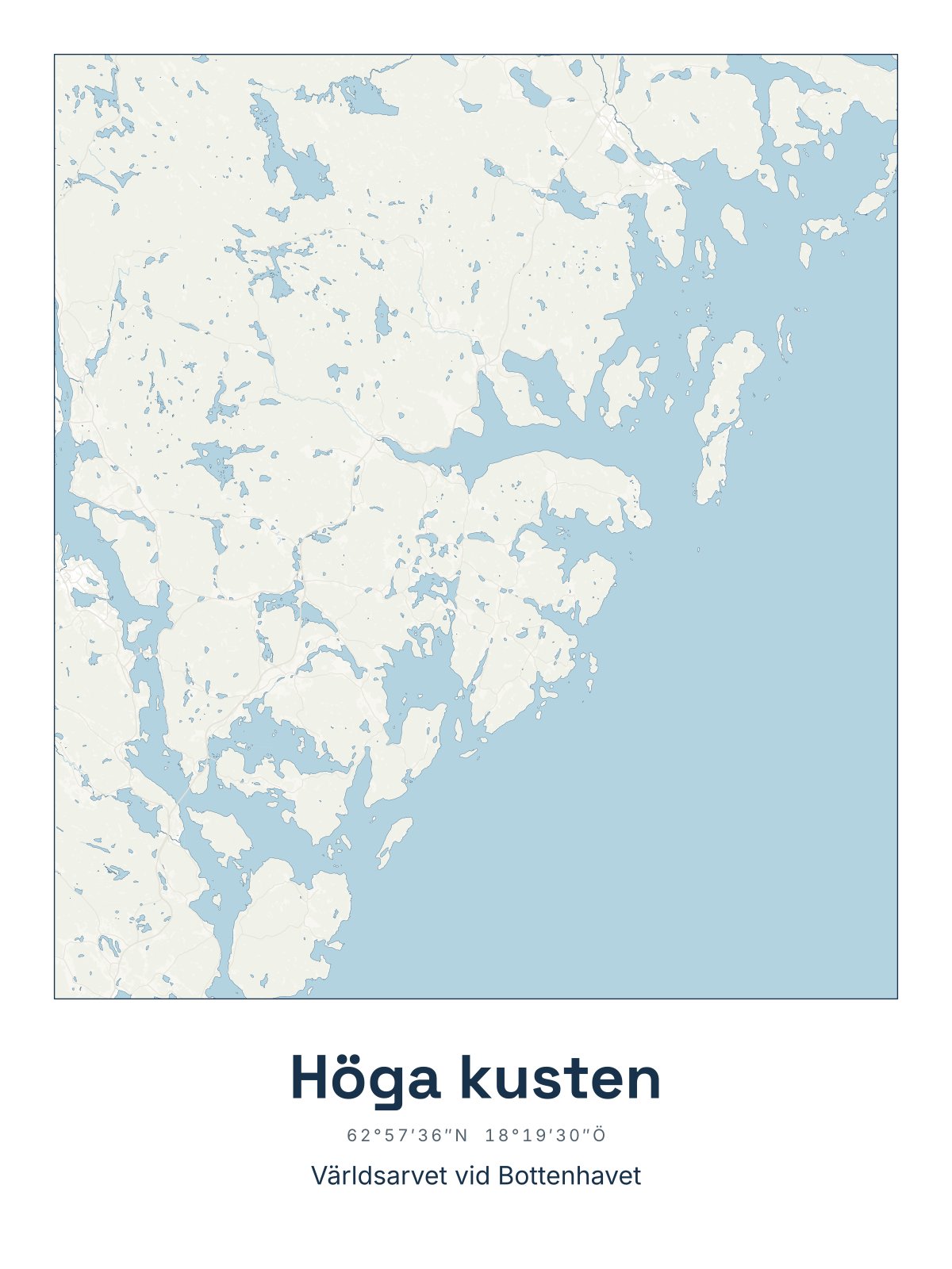 For the one who moved awayThe High Coast, so home always hangs on the wall.
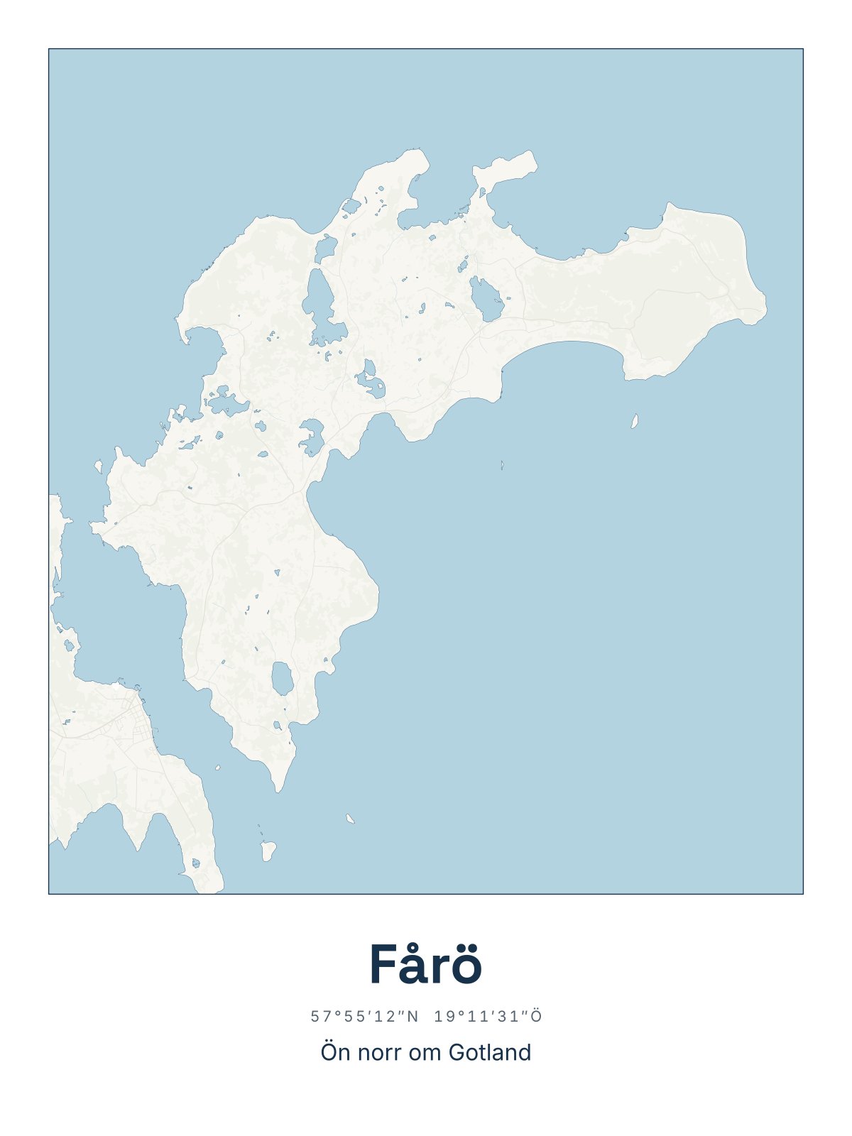 For you who spend every summer on FåröThe whole island north of Gotland, every bay and point.
Not sure which place? Give a gift card
- Printed in EuropeEach map is printed when you order and sent straight to you.
- 14 days to change your mindYou have 14 days to change your mind from the day you receive the map.
- 49 kr shippingThe same shipping however many maps you order.
Common questions
Short answers to what people usually wonder about. If you can't find the answer, write to us.
Which sizes are there?
Every map comes as a poster in 30 x 40 cm and 50 x 70 cm, and in the same sizes framed in black wood with acrylic glass. The frame is ready to hang.
What is the difference between the colours?
The same map in three colours. Sea chart has white land and clear blue water. Night is dark blue with light words. Sand has sand-coloured land and a pale sea, in a style that recalls old sea charts. They all cost the same.
How long does it take?
The map is printed in Europe when you order. Delivery takes 4-7 working days.
Can I give a map as a gift?
Yes. The map is sent to you, so you can wrap it yourself. If you do not know which place fits, give a gift card.
How can I pay?
You can pay with card, Apple Pay, Google Pay or Klarna.
Where do the maps come from?
They are drawn from Lantmäteriet's map data of Sweden. We have left out place names and symbols, so the coastline, the islands and the lakes stand out.
Can I get a map of another place?
We sell the places on the site and draw new ones all the time. If one is missing, you can request it and we will let you know if we make it.
Which place do you long for?
Choose the place, the colour and the size. The map is printed in Europe and sent home to you.