
Products / Coasts and archipelagos
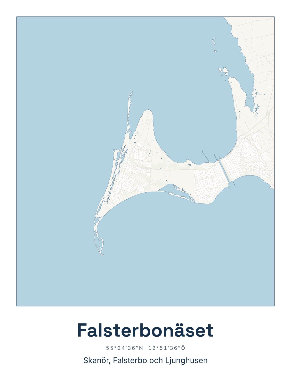
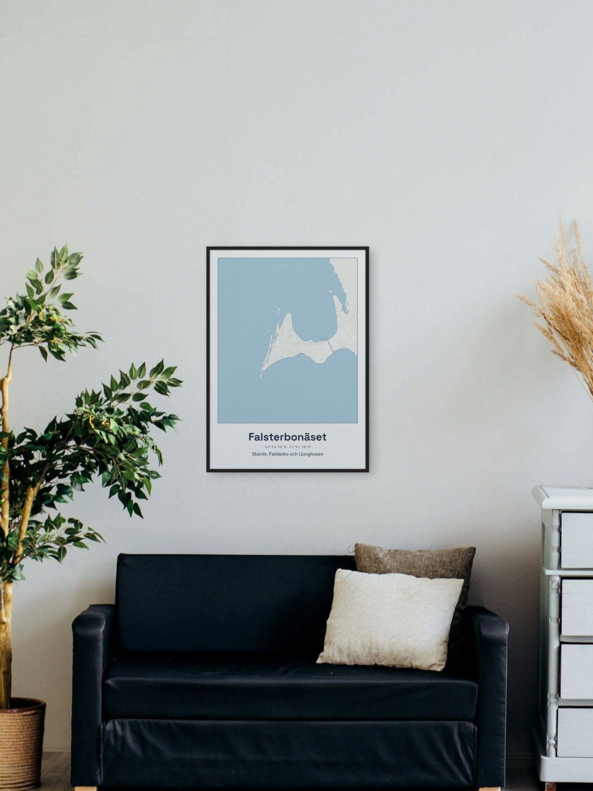
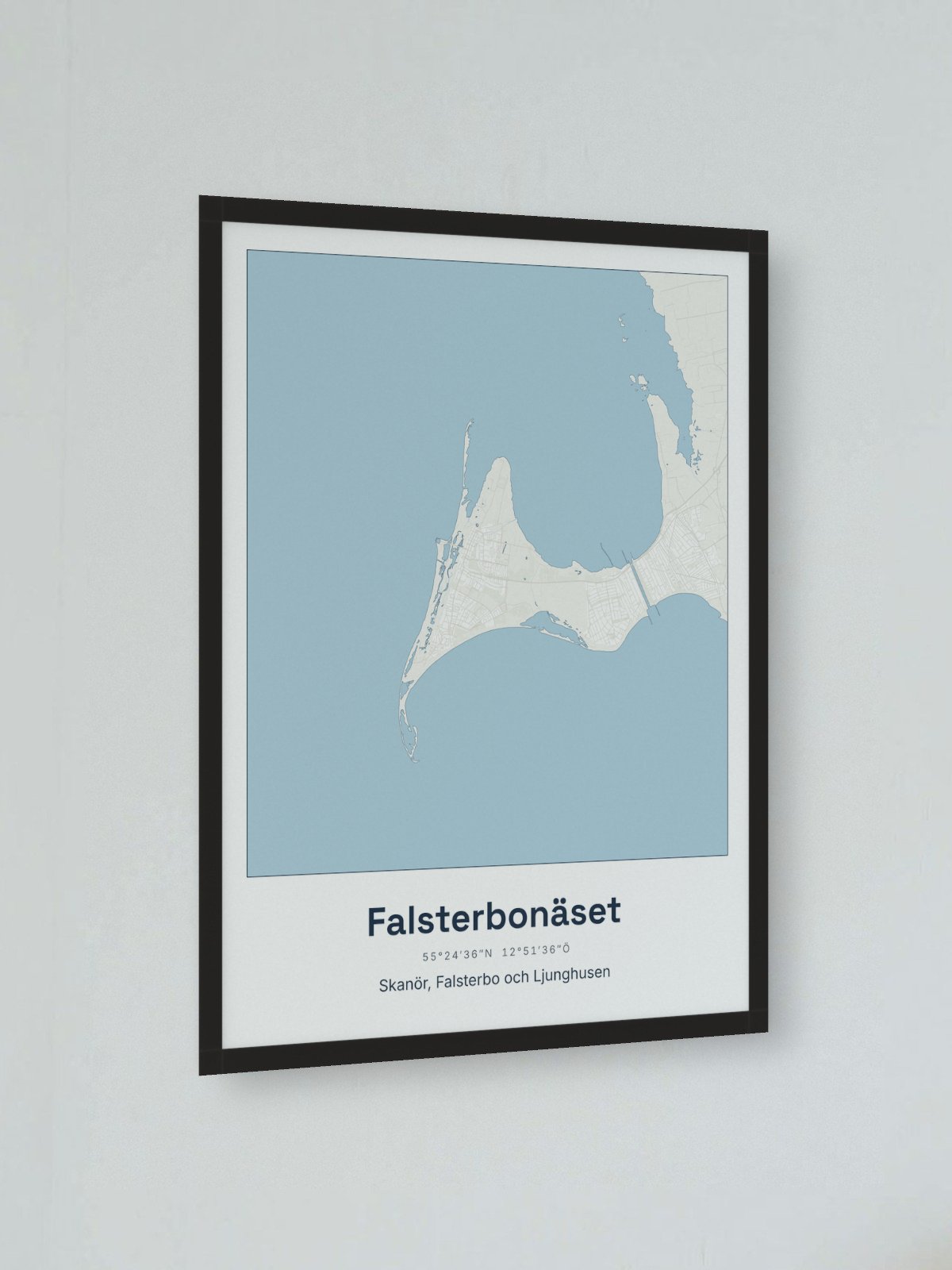
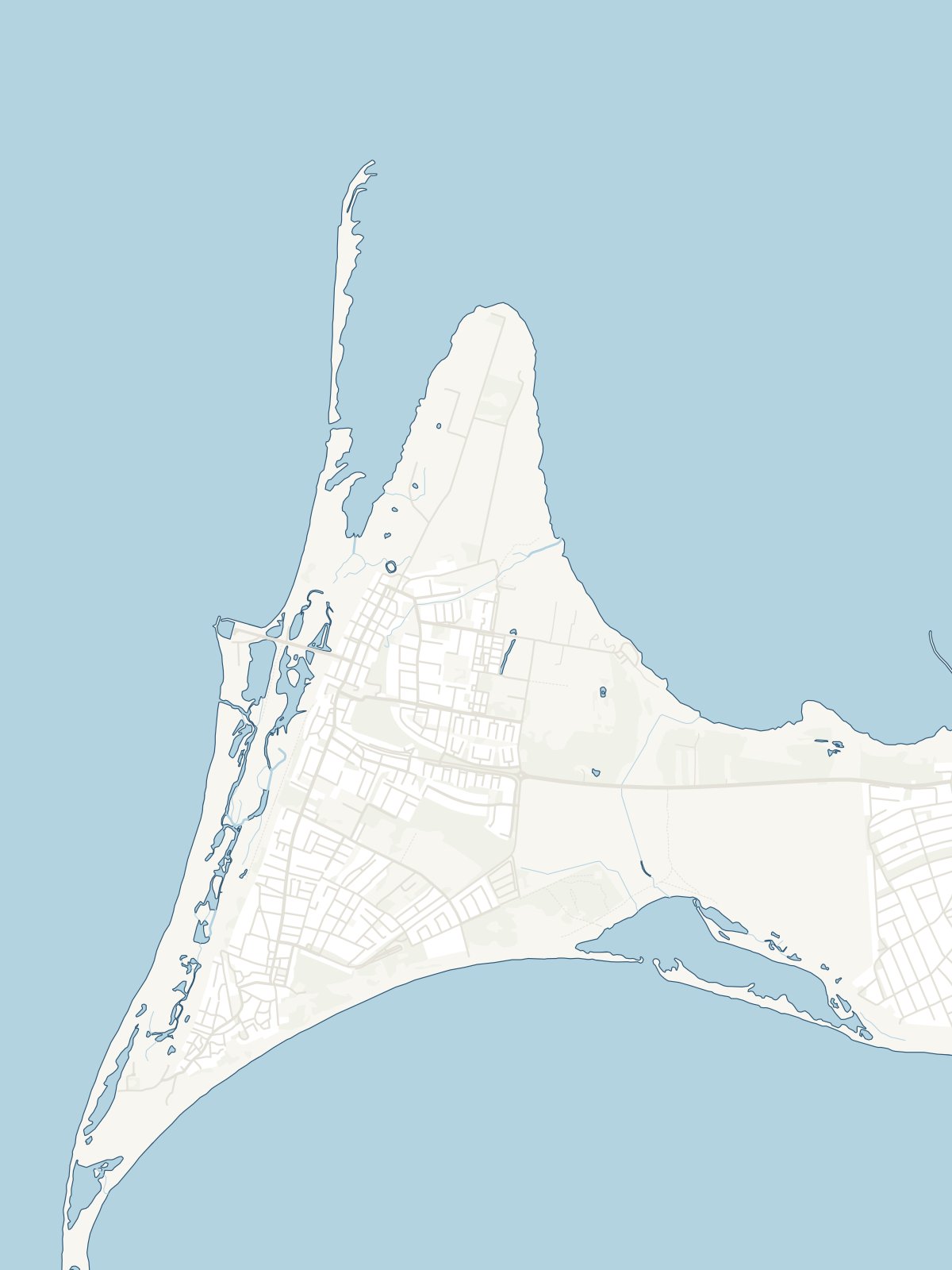
Map of the Falsterbo peninsula
The peninsula in the far south-west: Skanör, Falsterbo and Ljunghusen, with Måkläppen, the heath and the long sandy beaches. Printed in Europe on matt, uncoated paper, 200 gsm (framed 30 x 40: about 215 gsm). The framed one comes in a black wooden frame with acrylic glass. Map data: Topografi 10, © Lantmäteriet, processed by goodjob glenn, CC BY 4.0.
- Material
- Matt, uncoated paper, 200 gsm (framed 30 x 40: about 215 gsm). Framed: black wooden frame and acrylic glass.
- Product
- Poster 30 x 40 cm or 50 x 70 cm. Framed 30 x 40: the picture 30.5 x 40.6 cm (12 x 16 inches). Framed 50 x 70: the picture 50 x 70 cm. The frame is 12 mm wide and 22 mm deep.
Manufacturer
Printed for us in Europe once you have ordered, and sent straight to you. Manufacturer: goodjob glenn (Kartplansch), Grönnäsvägen 5 B, 451 77 Uddevalla, hej@kartplansch.se.
- Shipping 49 kr per order
- Estimated delivery: 26 November - 1 December