
Products / Islands
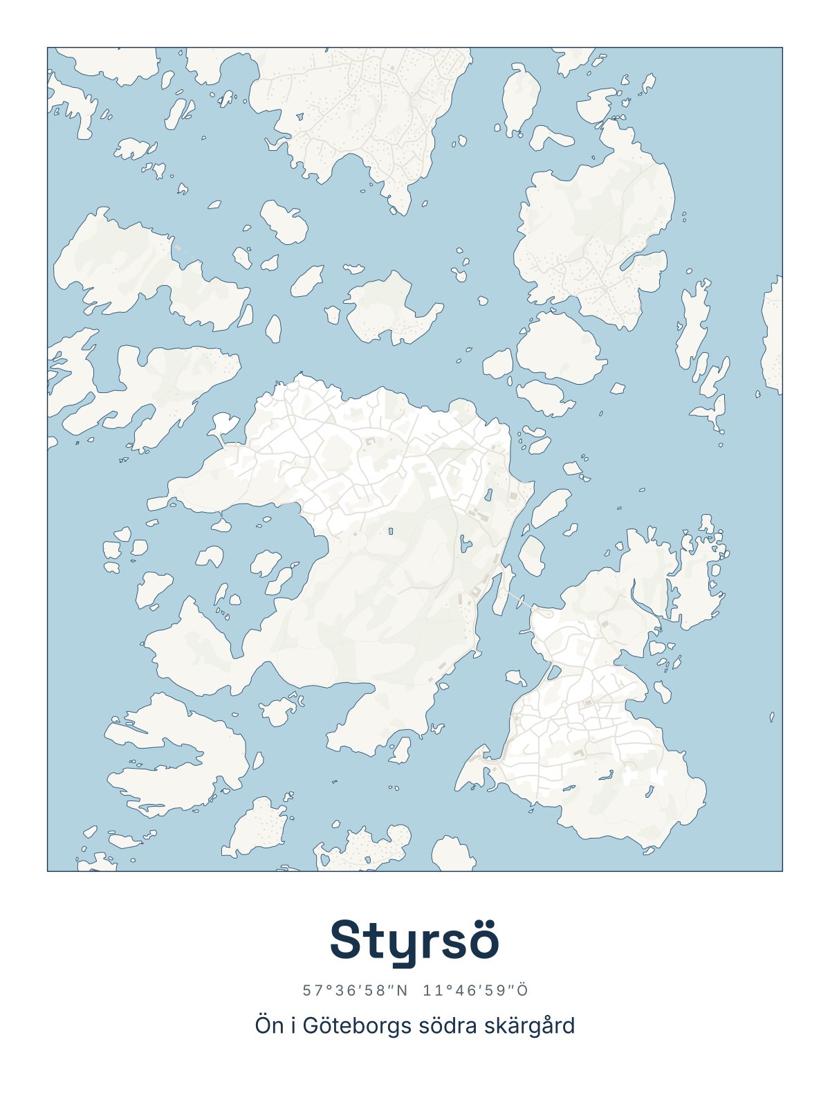
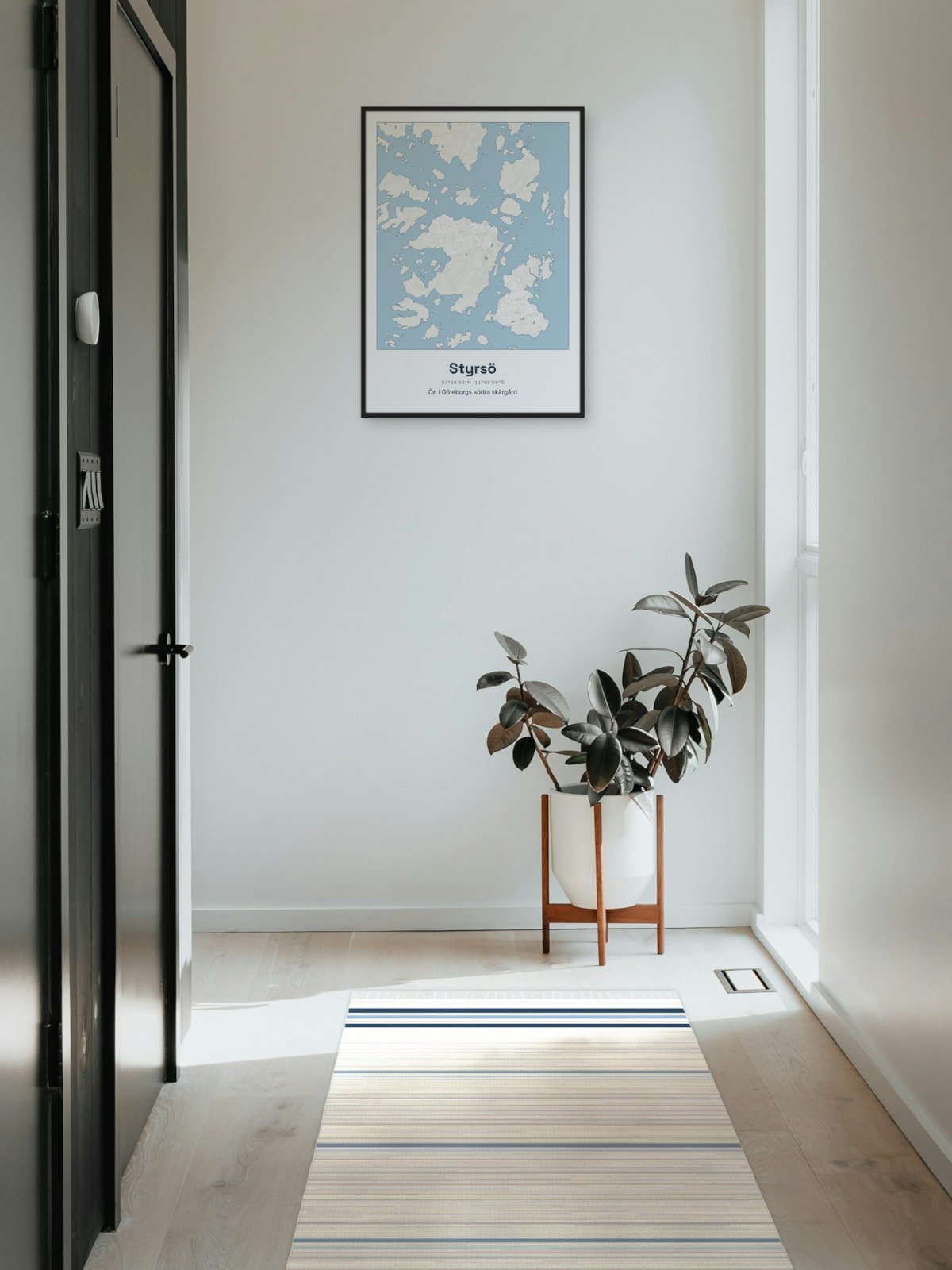
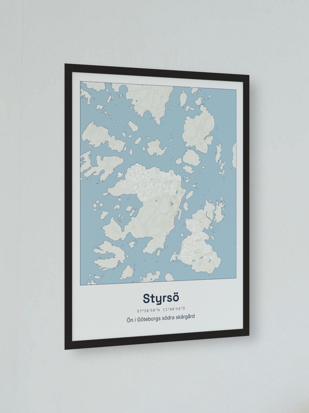
Map of Styrsö
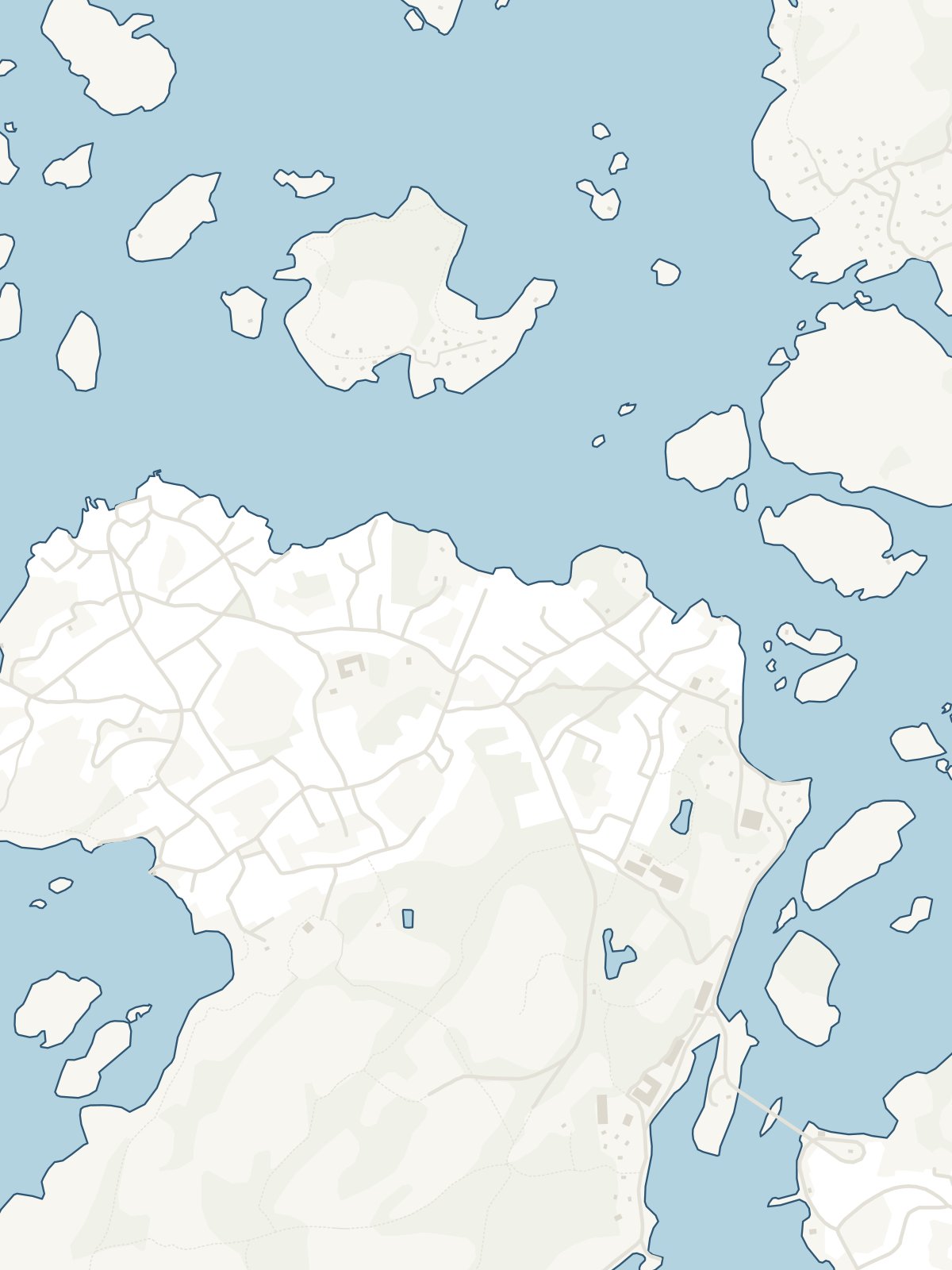
Styrsö with Bratten and Tången, and Donsö across the sound. The largest island of the southern archipelago, up close. Printed in Europe on matt, uncoated paper, 200 gsm (framed 30 x 40: about 215 gsm). The framed one comes in a black wooden frame with acrylic glass. Map data: Topografi 10, © Lantmäteriet, processed by goodjob glenn, CC BY 4.0.
- Material
- Matt, uncoated paper, 200 gsm (framed 30 x 40: about 215 gsm). Framed: black wooden frame and acrylic glass.
- Product
- Poster 30 x 40 cm or 50 x 70 cm. Framed 30 x 40: the picture 30.5 x 40.6 cm (12 x 16 inches). Framed 50 x 70: the picture 50 x 70 cm. The frame is 12 mm wide and 22 mm deep.
Manufacturer
Printed for us in Europe once you have ordered, and sent straight to you. Manufacturer: goodjob glenn (Kartplansch), Grönnäsvägen 5 B, 451 77 Uddevalla, hej@kartplansch.se.
- Shipping 49 kr per order
- Estimated delivery: 26 November - 1 December