
Islands
Map of Visingsö as a poster
Visingsö is the largest island in Lake Vättern. It is about 14 kilometres long but only three kilometres wide, and it lies six kilometres west of Gränna, where the ferry goes.
In the 1100s and 1200s the island was a centre of royal power in Sweden, and in the 1600s the Brahe family ruled from Visingsborg castle. Only ruins of the castles remain.
In the 1830s oaks were planted on the island, so that the navy would have timber for its ships. The oak forest is still there today.
The map shows the whole long, narrow island, the water around it and the shore at Gränna. It is drawn in a style that recalls sea charts: white land, clear blue water and a dark blue coastline, without place names or symbols.
The map suits anyone with a cottage on the island, anyone who has cycled around it on a summer day, or anyone who grew up by Lake Vättern. It is also a fine gift for someone who remembers the ferry across from Gränna.
The map comes in three colours: Sea chart as in the picture, Night and Sand. Choose the colour, the size and a frame if you like on the poster's page. It is printed when you order and sent straight to you.
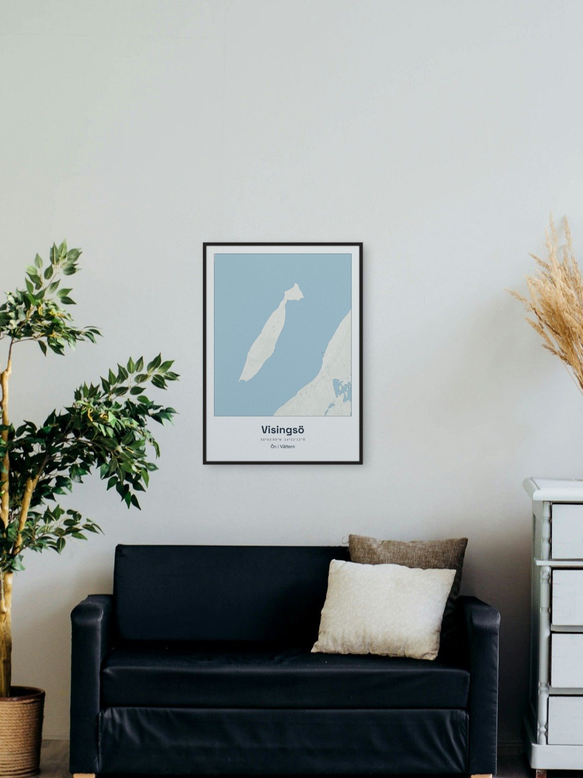
Framed on the wall 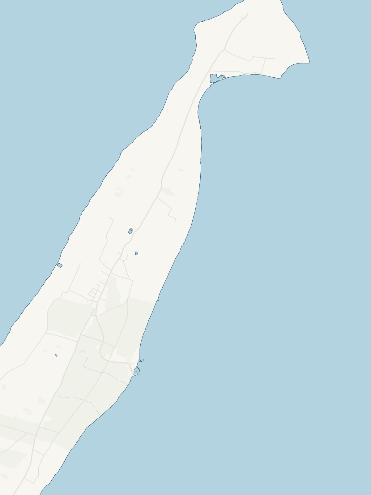
A close-up of the map