
Coasts and archipelagos
Map of the High Coast
The High Coast lies on the Bothnian Sea in Västernorrland, between Härnösand and Örnsköldsvik. Since the ice melted, the land here has risen 286 metres relative to the sea, and it still rises by about 8 millimetres a year.
The High Coast became a World Heritage site in 2000. In 2006 the site was extended with the Kvarken Archipelago on the other side of the sea, in Finland.
The map shows the coast with its deep bays, the islands offshore, the lakes inland and the roads, and the High Coast Bridge across the Ångermanälven river. Everything is drawn in a style that recalls sea charts, with white land, clear blue water and a dark blue coastline, without place names or symbols.
The map suits anyone with a cottage on the coast, anyone who has hiked or paddled there, or anyone who grew up in the area and wants it on the wall. It is also a fine gift for someone who has moved south and misses the high hills by the sea.
The map comes in three colours: Sea chart as in the picture, Night and Sand. Choose the colour, the size and a frame if you like on the poster's page. It is printed when you order and sent straight to you.
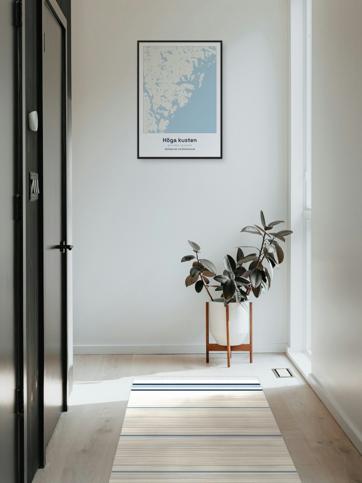
Framed on the wall 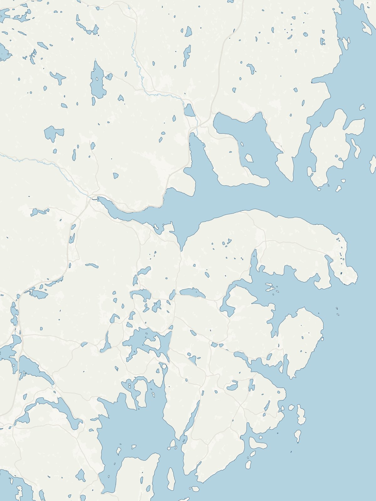
A close-up of the map