
Towns and cities
Map of Luleå as a poster
Central Luleå on the peninsula between the north and the south harbour.
The map is drawn from Lantmäteriet's map data in the same calm style as all our maps. The streets and blocks show as fine lines, water and green areas in calm colours. Under the map are the name, the coordinates and the line “Staden vid Luleälvens mynning” (the city at the mouth of the Lule river).
Choose between three colours, Sea chart, Night and Sand, each also detailed, with the houses, small roads and paths. Choose a poster or a framed print in two sizes. Each map is printed in Europe once you have ordered it.
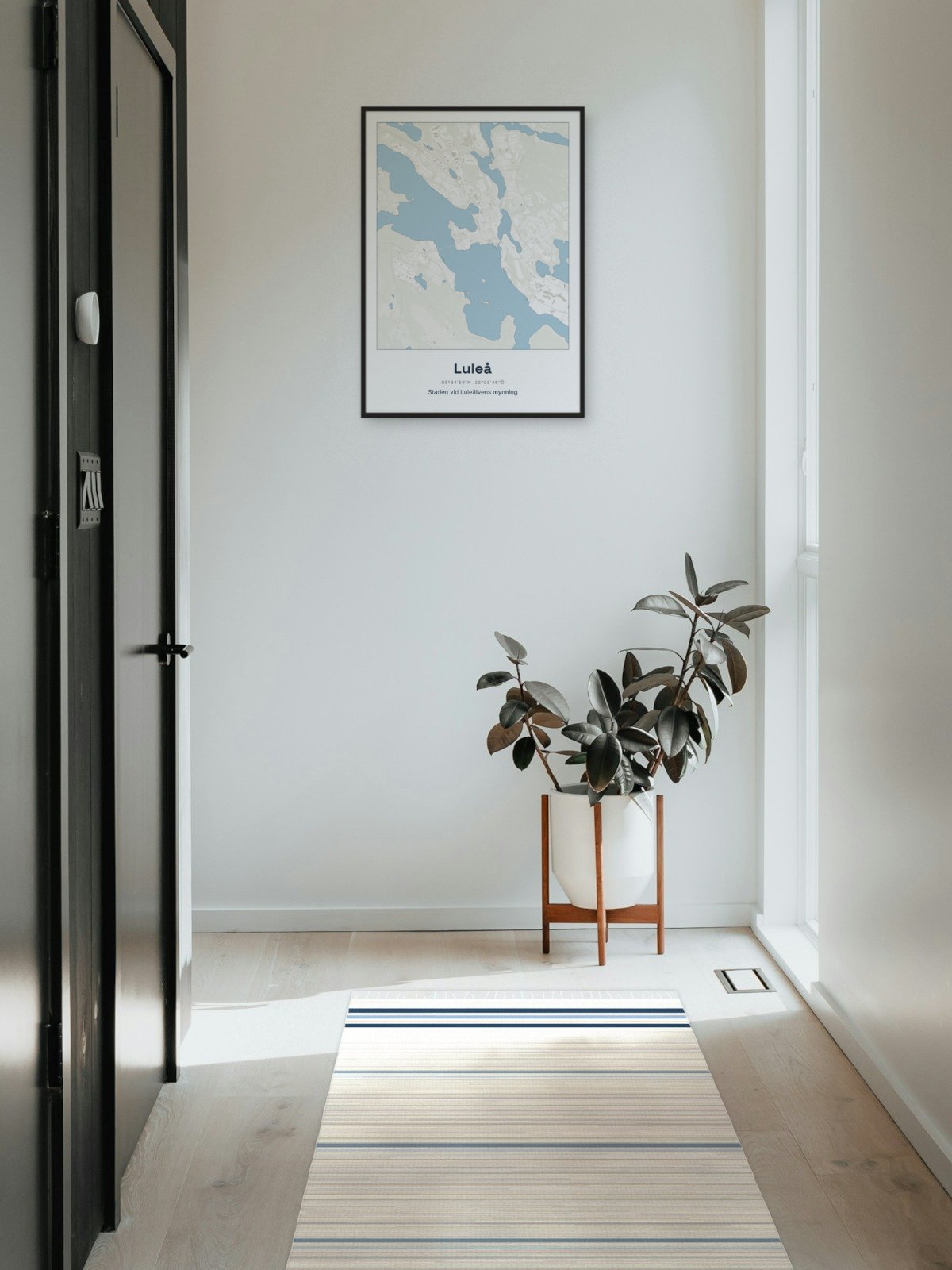
Framed on the wall 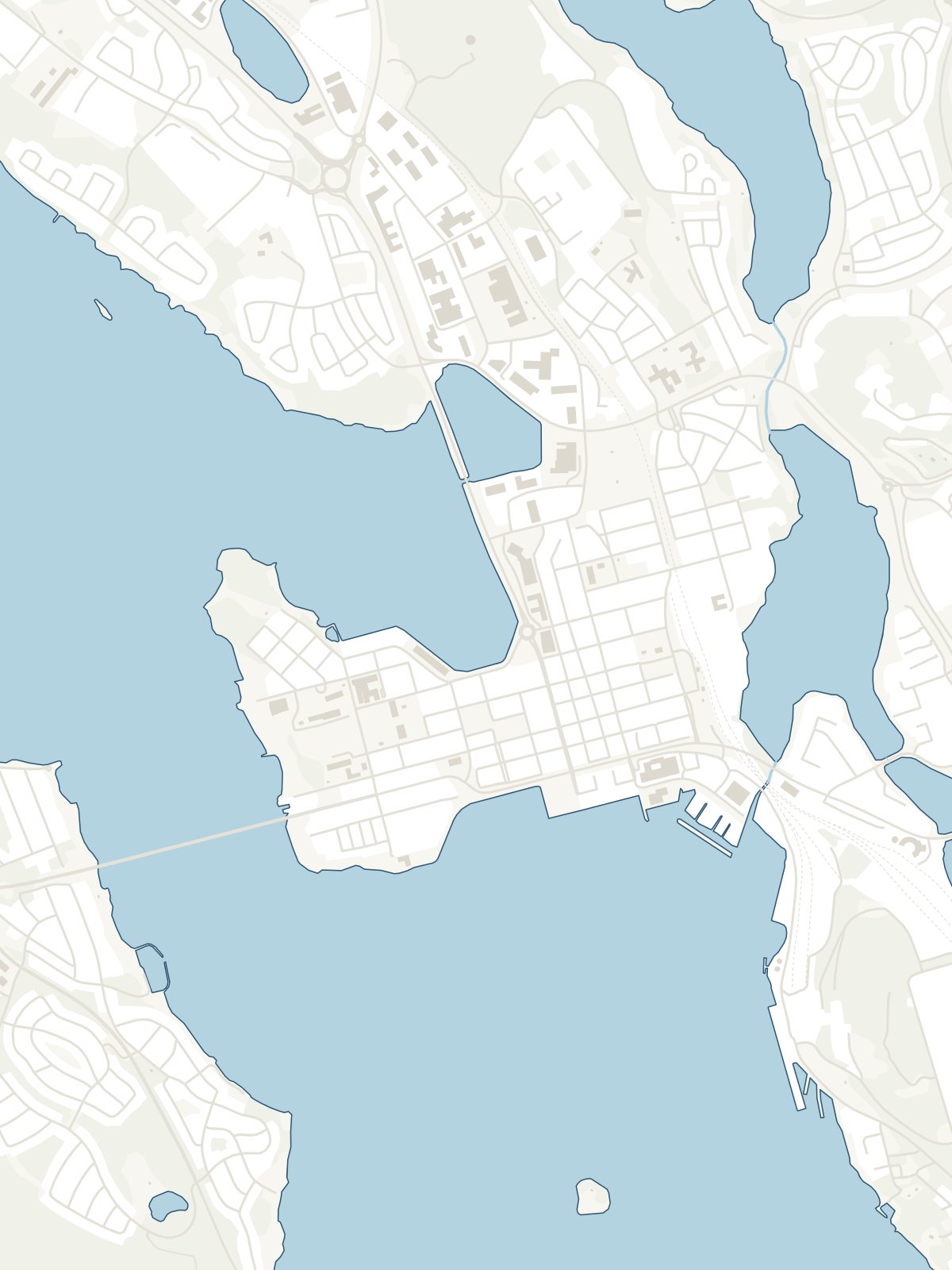
A close-up of the map