
Coasts and archipelagos
Map of Roslagen as a poster
Roslagen is the coast of eastern Uppland, north of Stockholm. Norrtälje is sometimes called the capital of Roslagen, and according to Statistics Sweden there are more summer houses in Norrtälje municipality than in any other municipality in Sweden.
The map shows the northern part of Roslagen, from Norrtälje in the south to Öregrund and Gräsö in the north. In between lie Väddö and a long coast full of bays, islands and skerries facing the Sea of Åland.
The map is drawn in a style that recalls sea charts: white land, clear blue water and a dark blue coastline. It has no place names or symbols, so the shape of the coast and the islands can show.
The map suits anyone with a summer cottage in Roslagen, a boat at a jetty in some bay, or roots in a village by the coast. It is also a fine gift for someone who longs for the summer place all winter.
Would you like the archipelago further south, down to Landsort? Then our map of the Stockholm archipelago is the one. The map comes in three colours: Sea chart as in the picture, Night and Sand. Choose the colour, the size and a frame if you like on the poster's page. It is printed when you order and sent straight to you.
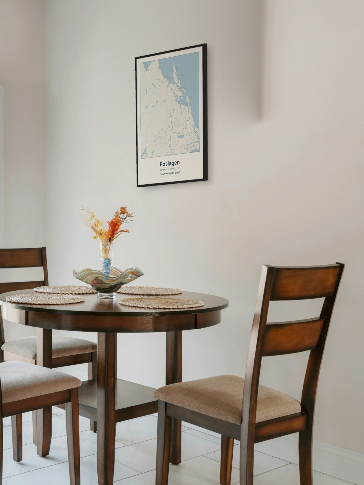
Framed on the wall 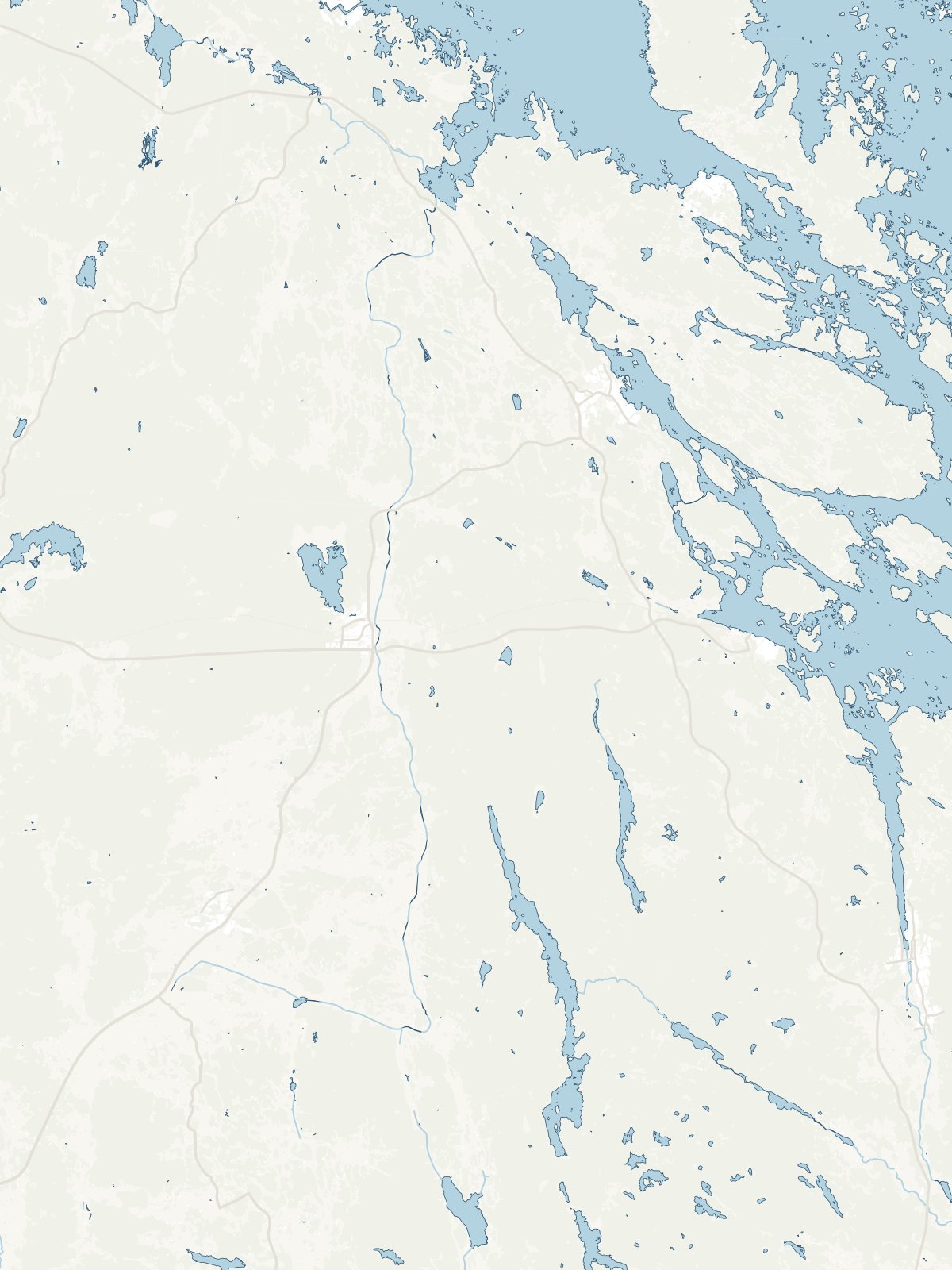
A close-up of the map