
Coasts and archipelagos
Map of the Stockholm archipelago
The Stockholm archipelago stretches about 150 kilometres along the coast, from Arholma in the north to Landsort in the south. In between lie tens of thousands of islands, islets and skerries, from large islands with roads to bare rocks far out towards the sea.
The map shows the whole archipelago at once: the mainland coast, the bays and sounds, and the islands of the inner, middle and outer archipelago. The map is drawn in a style that recalls sea charts, with white land, clear blue water and a dark blue coastline, so that the many islands stand out clearly, right down to the smallest skerries.
It is a map to stand and look at for a long time. Many people first find their own island or bay by its shape, and then follow the way there across the water.
The map suits anyone with a summer place on an island, a boat at a jetty, or anyone who grew up with the archipelago close by. It is also a fine gift for someone who has moved away and misses the sea.
The map comes in three colours: Sea chart as in the picture, Night and Sand. Choose the colour, the size and a frame if you like on the poster's page. It is printed when you order and sent straight to you.
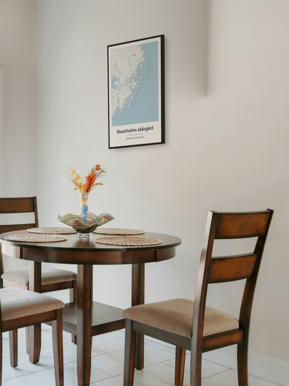
Framed on the wall 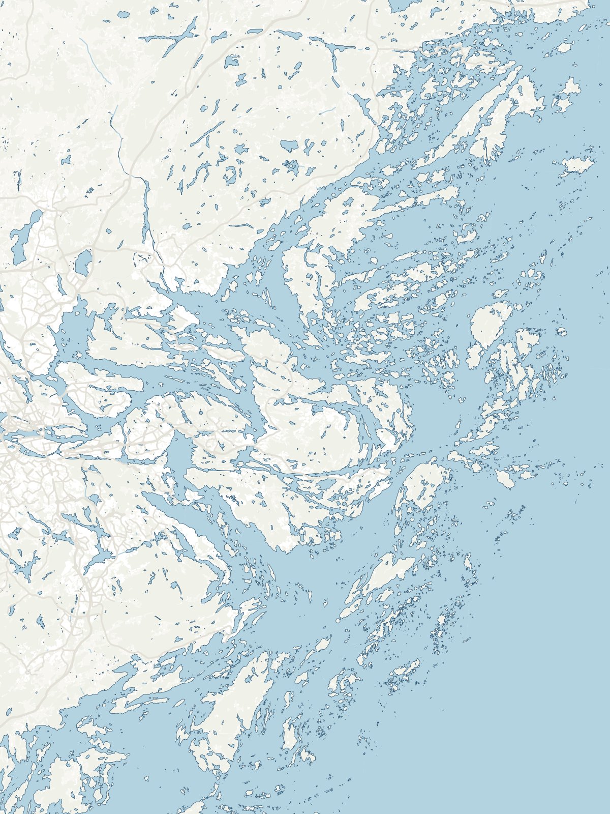
A close-up of the map