
Islands
Map of Fårö as a poster
Fårö lies at the very north of Gotland, on the other side of the Fårösund strait. The island is just over 100 square kilometres, and you get there on the car ferry from Fårösund.
The map shows the whole island and the strait towards Gotland: the long coastline with its points and bays, the lakes and the small roads winding across the island. Everything is drawn in a style that recalls sea charts, with white land, clear blue water and a dark blue coastline, without place names or symbols.
Along the coast stand raukar, tall pillars of limestone shaped by the sea, for example at Langhammars and Digerhuvud. On the map the island becomes a simple, slightly angular shape in the middle of the sea, and that is just what makes it so good to frame.
The map suits anyone with a summer house on Fårö, anyone who goes there every summer, or anyone who remembers a special trip across the strait. It is also a fine gift for someone who misses the island in winter. Would you rather have all of Gotland on the wall, with Fårö at the very north? That map is here too.
The map comes in three colours: Sea chart as in the picture, Night and Sand. Choose the colour, the size and a frame if you like on the poster's page. It is printed when you order and sent straight to you.
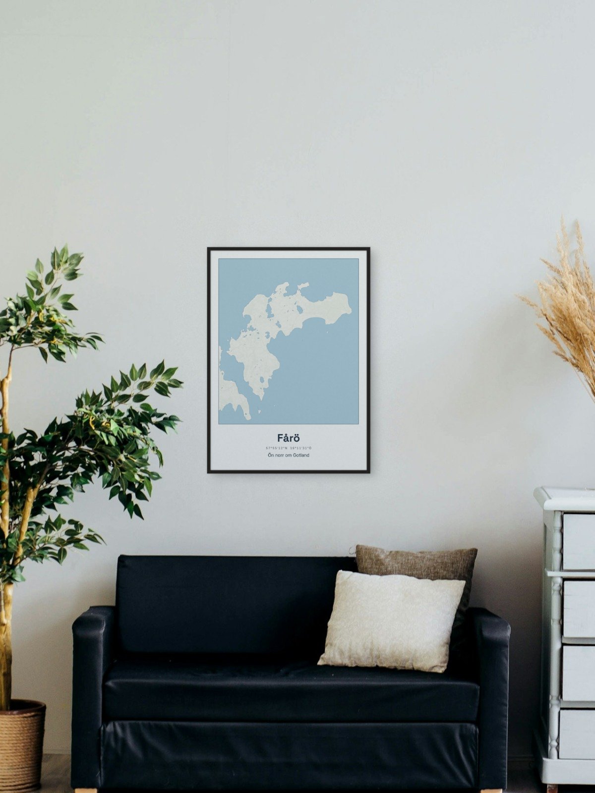
Framed on the wall 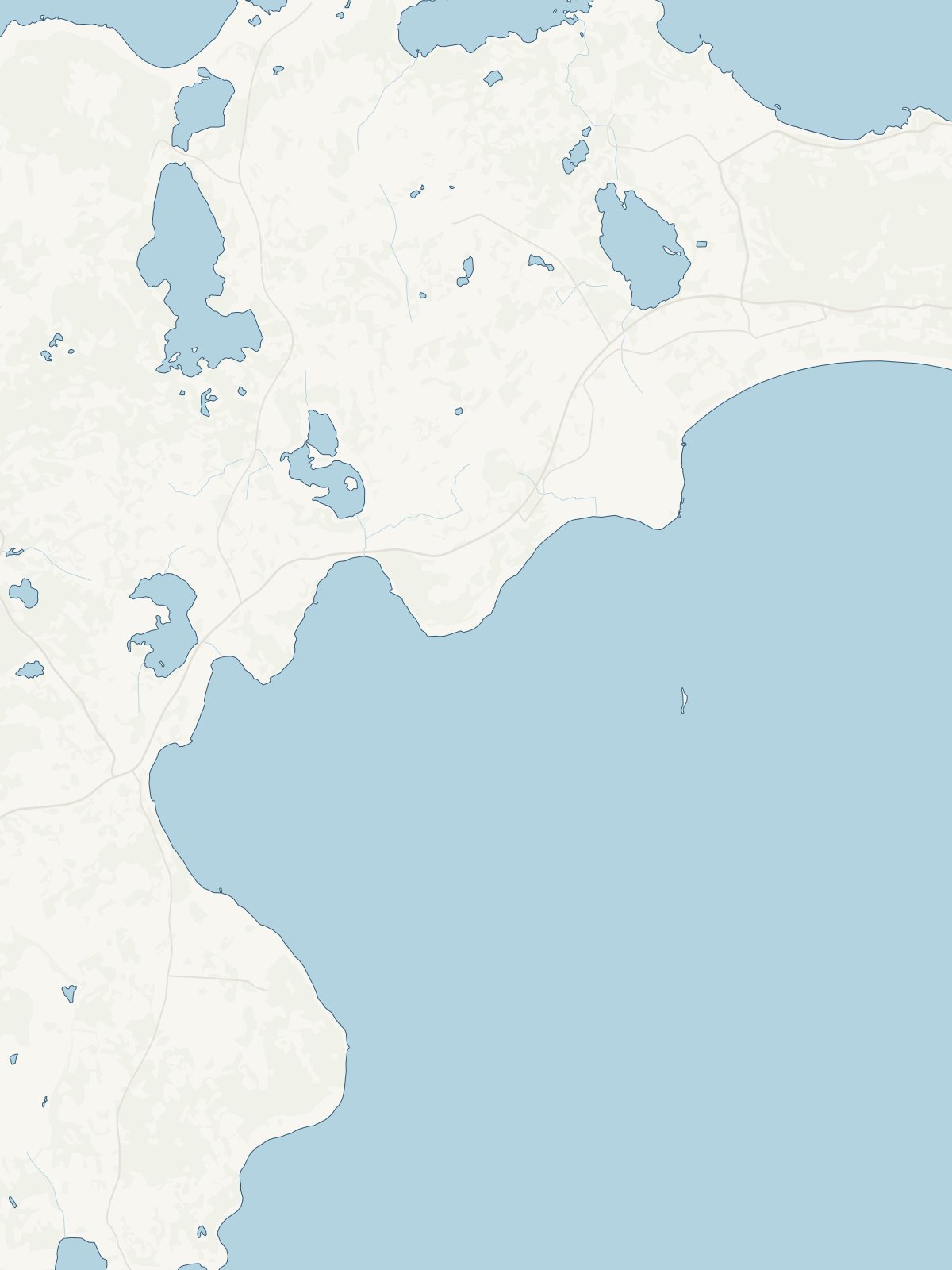
A close-up of the map