Islands
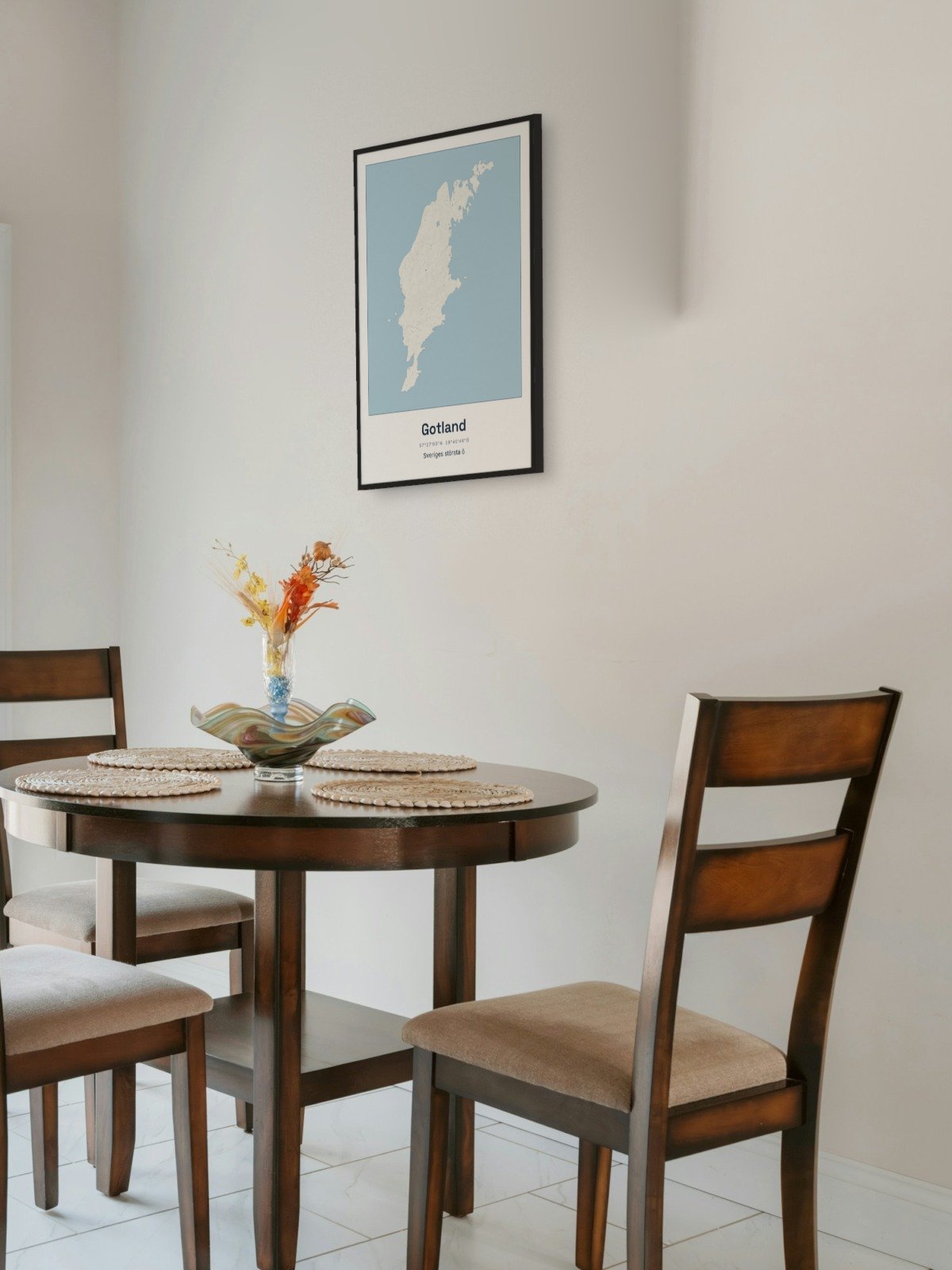
Map of Gotland as a poster
Gotland is the largest island in Sweden. It lies in the middle of the Baltic Sea, about 100 kilometres from the mainland, and you get there on the ferry from Nynäshamn or Oskarshamn to Visby.
The map shows the whole island at once, from Hoburgen at the very south to Fårö in the north. You see the long coastline with its points and bays, the small islands around it and the roads between the villages. The map is drawn in a style that recalls sea charts: white land, clear blue water and a dark blue coastline. It has no place names.
Visby is one of the World Heritage sites in Sweden, with its town wall from the Middle Ages. Along the coasts stand raukar, tall pillars of limestone shaped by the sea. On the map the whole island becomes a large, quiet shape in the middle of the sea.
The map suits anyone with a summer cottage on Gotland, anyone who goes there every summer, or anyone who grew up on the island and moved away. It is also a fine gift for someone who counts the days to the next ferry.
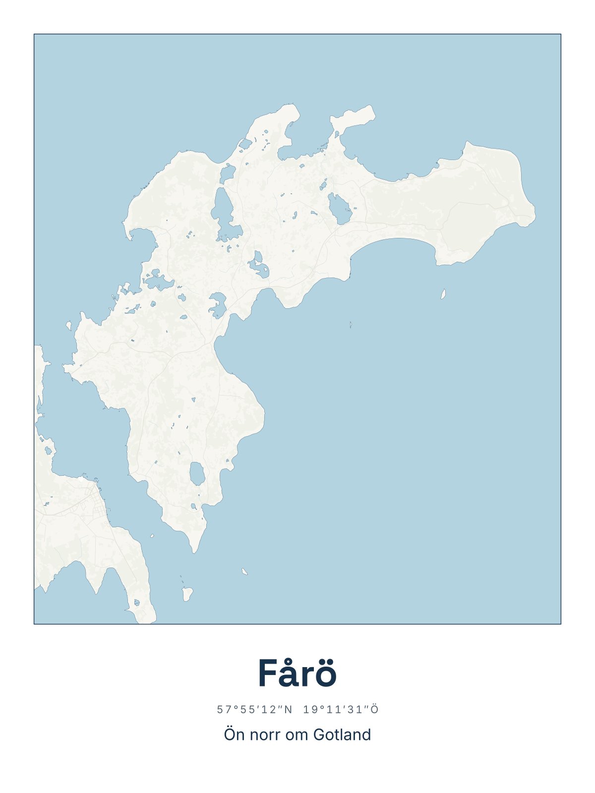
Would you rather have a smaller island? Further down is our map of Fårö. The map comes in three colours: Sea chart as in the picture, Night and Sand. Choose the colour, the size and a frame if you like on the poster's page. It is printed when you order and sent straight to you.
Framed on the wall 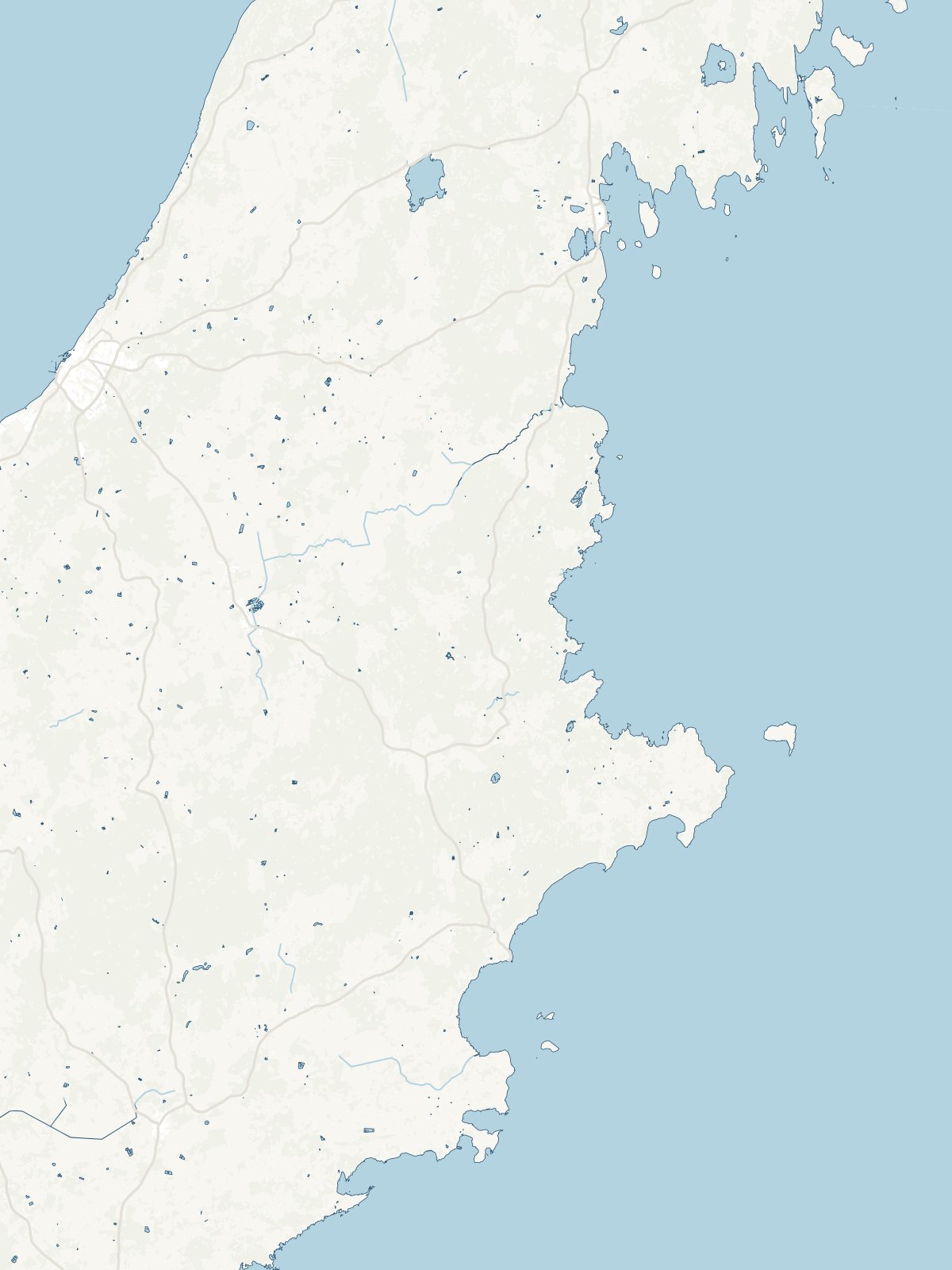
A close-up of the map