
Islands
Map of Gotska Sandön as a poster
The lone sand island far out in the Baltic Sea, a national park with pine forest, dunes and long sandy beaches.
The map is drawn from Lantmäteriet's map data in the same calm style as all our maps. The island's shape and shoreline show, and the water around is clear blue. Under the map are the name, the coordinates and the line “Nationalparken norr om Fårö” (the national park north of Fårö).
Choose between three colours, Sea chart, Night and Sand, and between a poster and a framed print in two sizes. Each map is printed in Europe once you have ordered it.
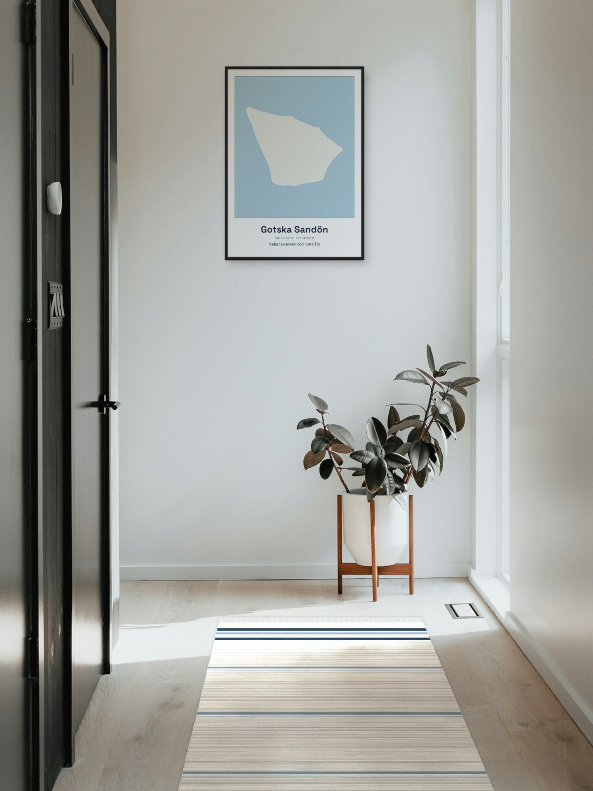
Framed on the wall 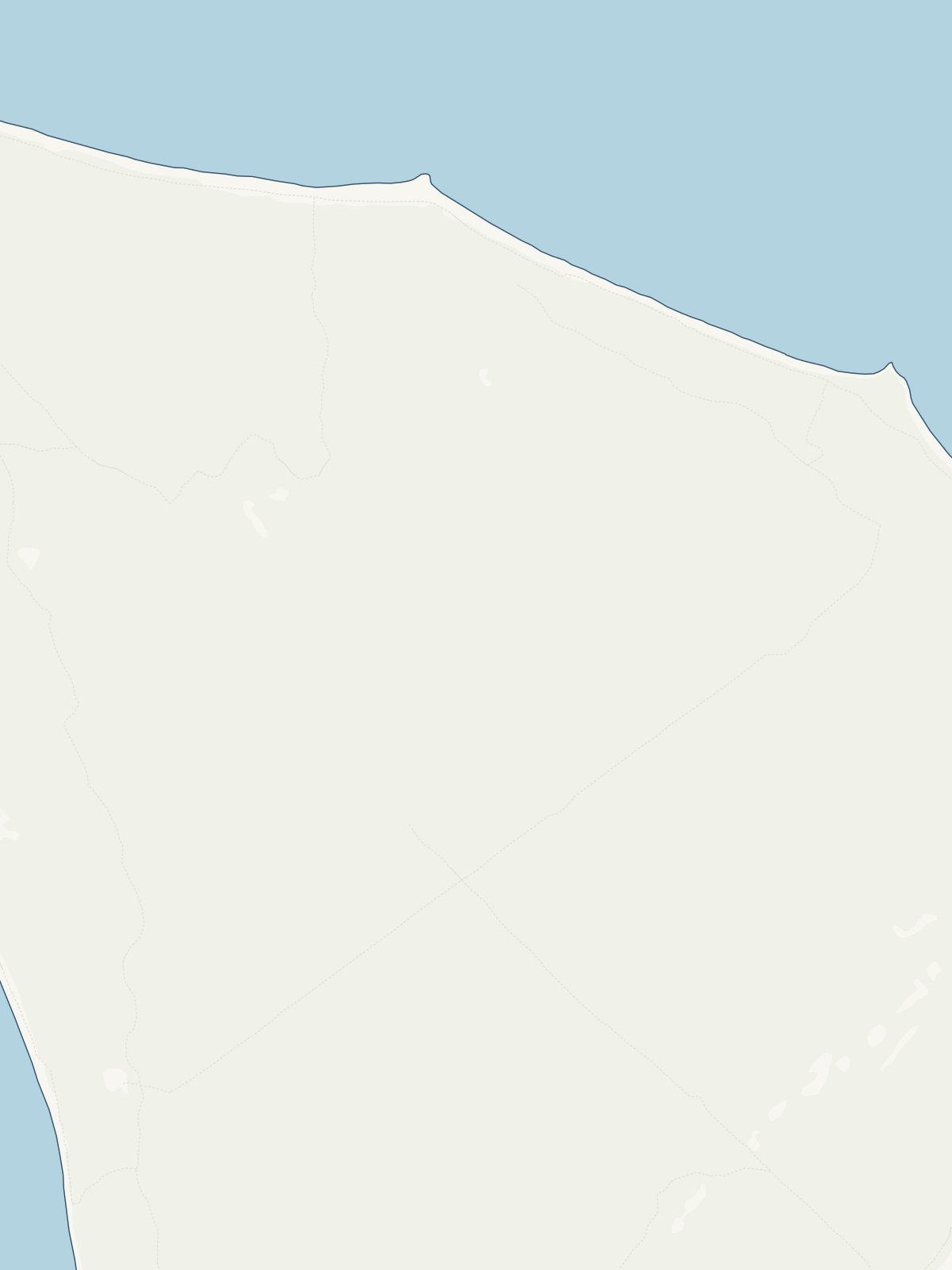
A close-up of the map