
Islands
Map of Öland as a poster
Öland is the second largest island in Sweden. It is long and narrow, about 135 kilometres from north to south, with Kalmarsund on one side and the open Baltic Sea on the other.
The map shows the whole island at once: the coastline with its points and bays, the lakes and the roads, drawn with white land, clear blue water and a dark blue coastline, in a style that recalls sea charts. The Öland Bridge is a thin line across the strait to Kalmar. The map has no place names or symbols. Under the map are the island's name, the coordinates and the line ”Ön i Östersjön” (the island in the Baltic Sea).
The southern part of the island, with the great limestone grassland Stora alvaret, is called the Agricultural Landscape of Southern Öland and has been a World Heritage site since 2000. On the map that part becomes a wide, quiet field with few roads.
The map suits anyone with a summer cottage on Öland, anyone who has cycled or sailed around the island, or anyone with roots in a village there. It is also a simple gift for someone who longs to go back all winter.
The map comes in three colours: Sea chart as in the picture, Night and Sand. Choose the colour, the size and a frame if you like on the poster's page. It is printed when you order and sent straight to you.
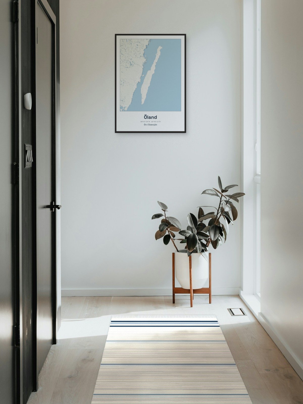
Framed on the wall 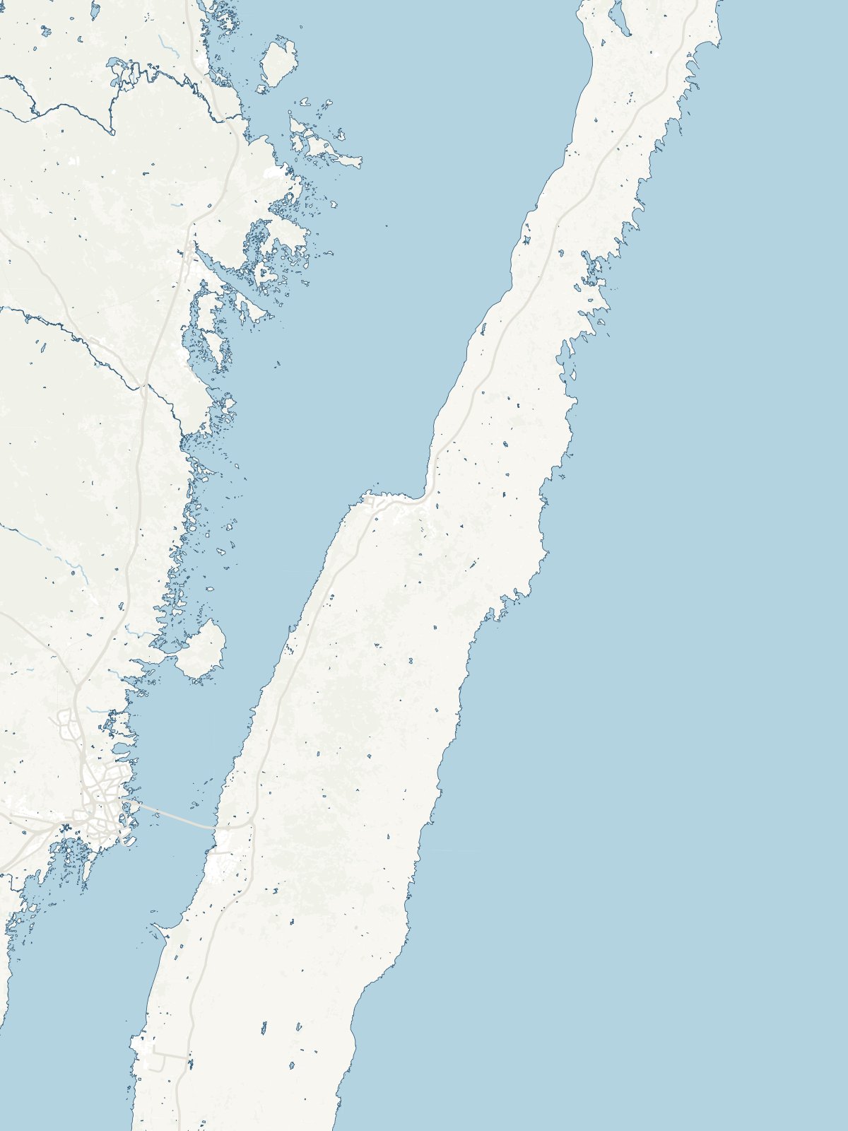
A close-up of the map