Coasts and archipelagos
Map of Bohuslän
Bohuslän is the coast between Gothenburg and Norway. In the south the border follows the Göta älv river and crosses Hisingen, in the north it meets the border with Norway, and to the west lie the Skagerrak and the Kattegat.
The map shows the coast from Gothenburg to Strömstad: the fjords that cut into the land, the large islands and the many smaller islands and skerries out at sea. Everything is drawn in a style that recalls sea charts, with white land, clear blue water and a dark blue coastline.
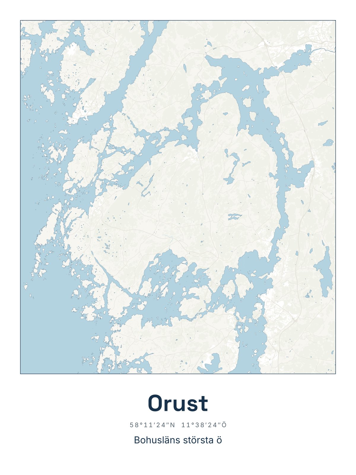
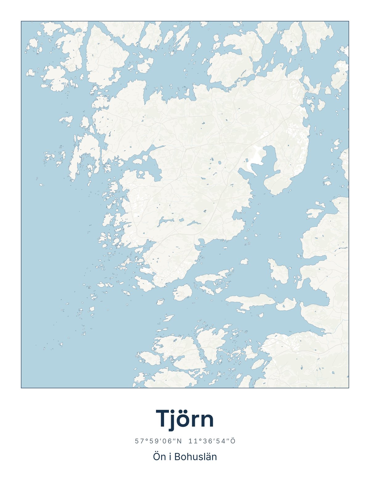
Three of the seven largest islands in Sweden lie wholly or partly in Bohuslän: Orust, Tjörn and Hisingen. On the map you see how closely land and sea fit into each other all along the coast.
The map suits anyone who sails the west coast in summer, has a summer house by one of the fishing villages, or comes from Bohuslän and wants the coast on the wall. It is also a fine gift for someone who has moved away from the west coast.
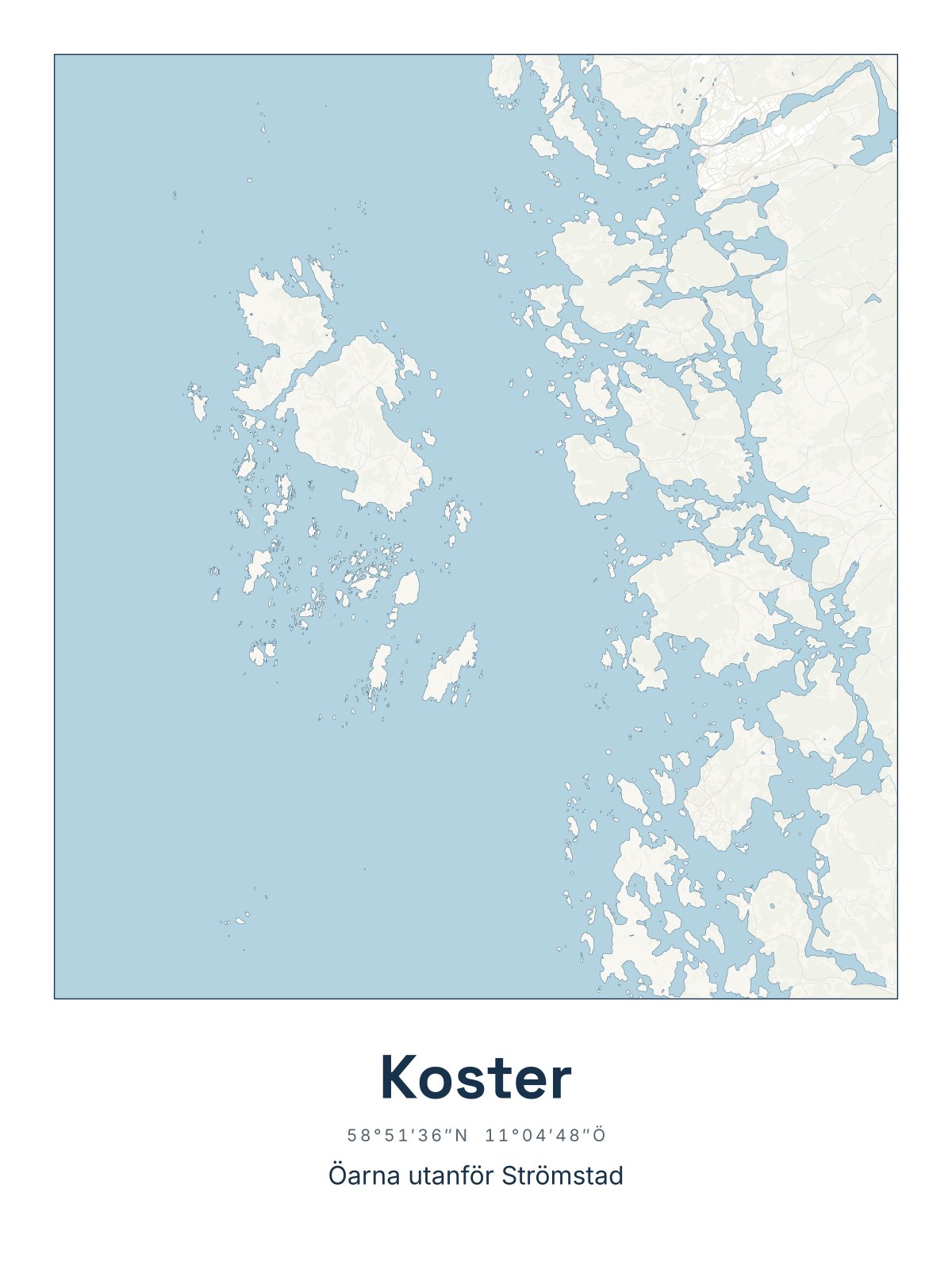
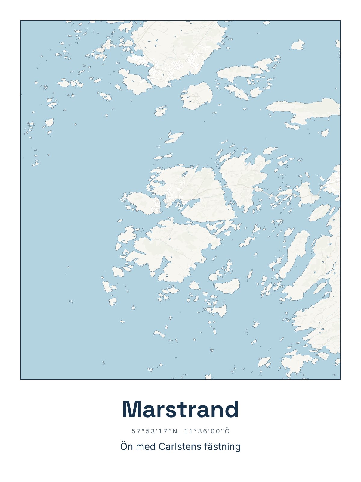
Would you rather have a single island or group of islands? Further down are our maps of Orust, Tjörn, Koster and Marstrand. The map comes in three colours: Sea chart as in the picture, Night and Sand. Choose the colour, the size and a frame if you like on the poster's page.
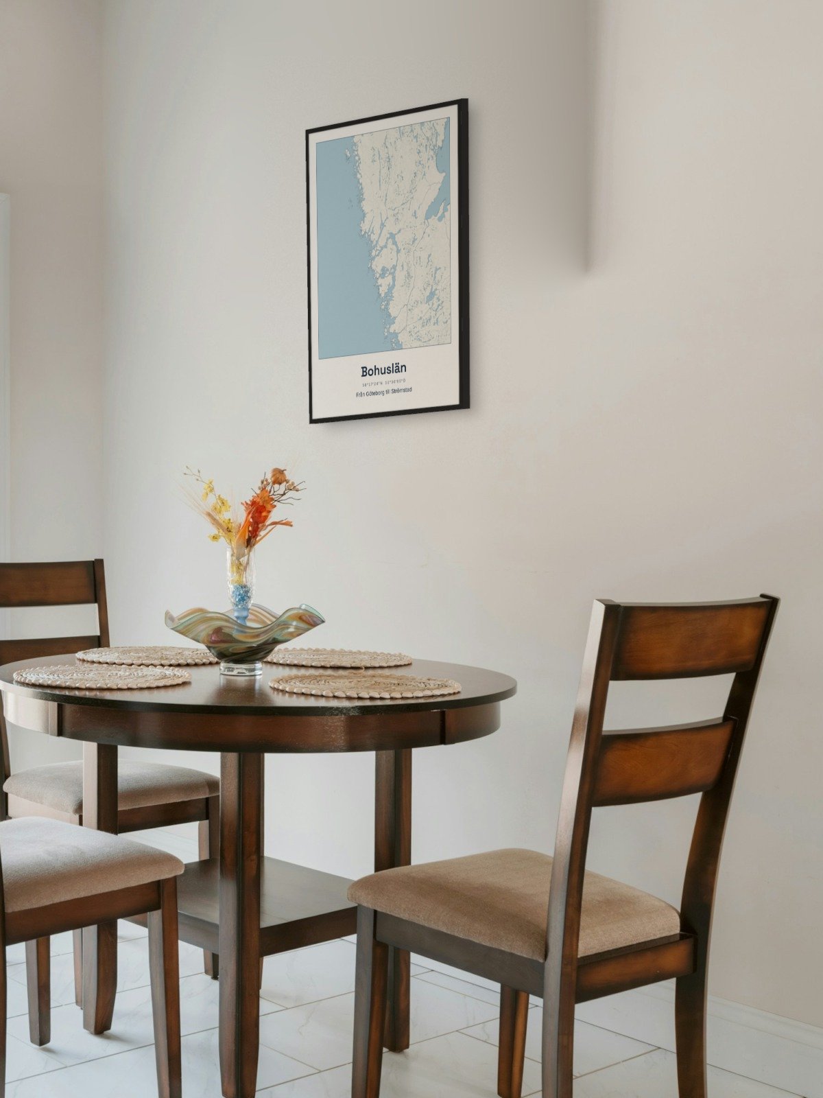
Framed on the wall 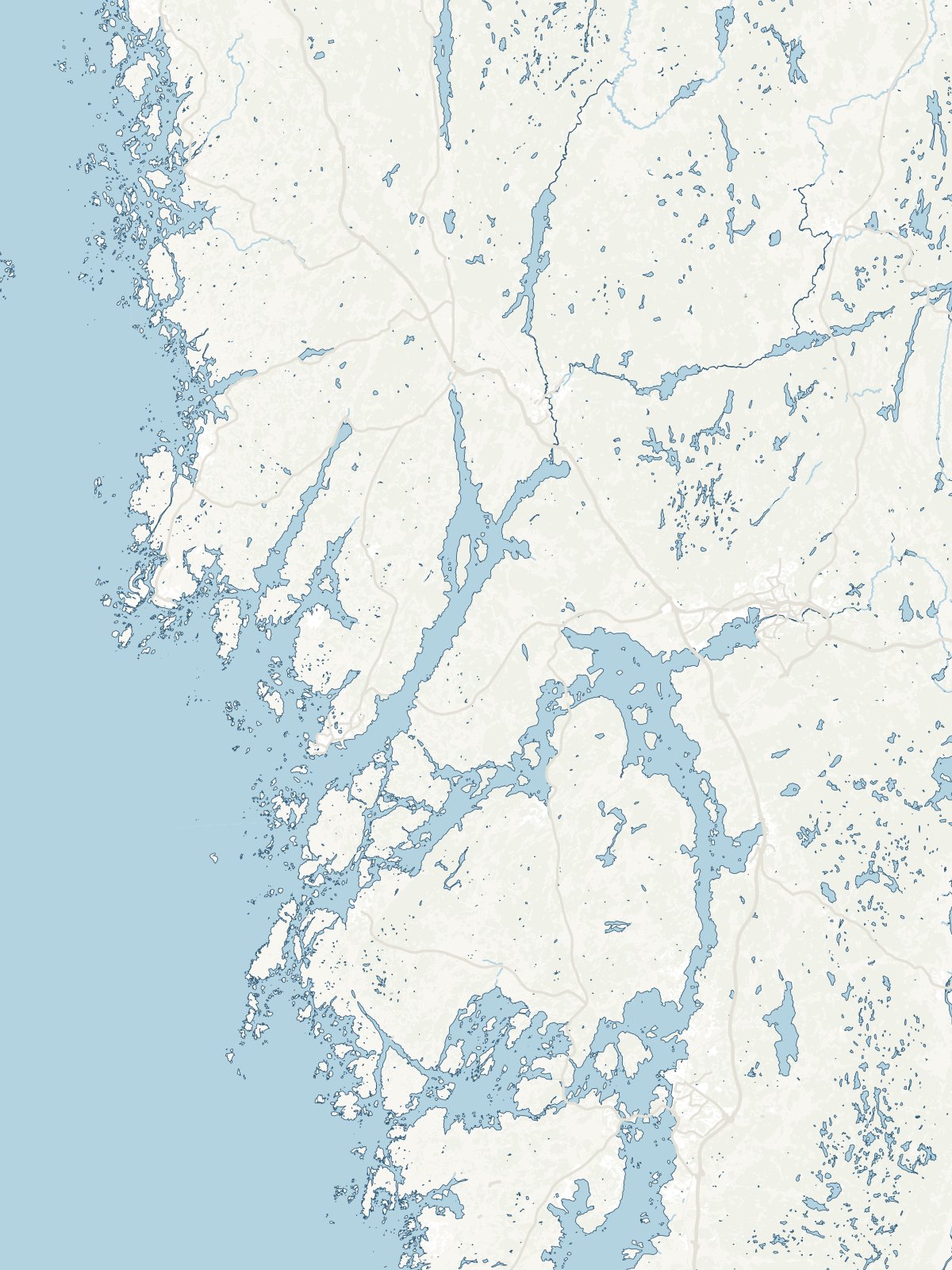
A close-up of the map