
Coasts and archipelagos
Map of the Gothenburg archipelago
The Gothenburg archipelago is usually divided in two. In the north lie the islands of Öckerö municipality, such as Hönö, Öckerö, Björkö and Rörö. In the south lie the islands of Gothenburg municipality, such as Brännö, Styrsö, Donsö and Vrångö.
Car ferries go to the northern islands from Lilla Varholmen on Hisingen. To the southern islands you take a passenger boat from Saltholmen. Farthest out at sea lies Vinga.
The map shows the whole archipelago at once, with Hisingen and the coast at Gothenburg to the east. It is drawn in a style that recalls sea charts: white land, clear blue water and a dark blue coastline, so that every island and skerry stands out clearly. The map has no place names or symbols.
The map suits anyone who lives on one of the islands, takes the boat into town every day or has a summer place out in the archipelago. It is also a fine gift for someone who has moved away from Gothenburg and misses the sea and the rocks.
The map comes in three colours: Sea chart as in the picture, Night and Sand. Choose the colour, the size and a frame if you like on the poster's page. It is printed when you order and sent straight to you.
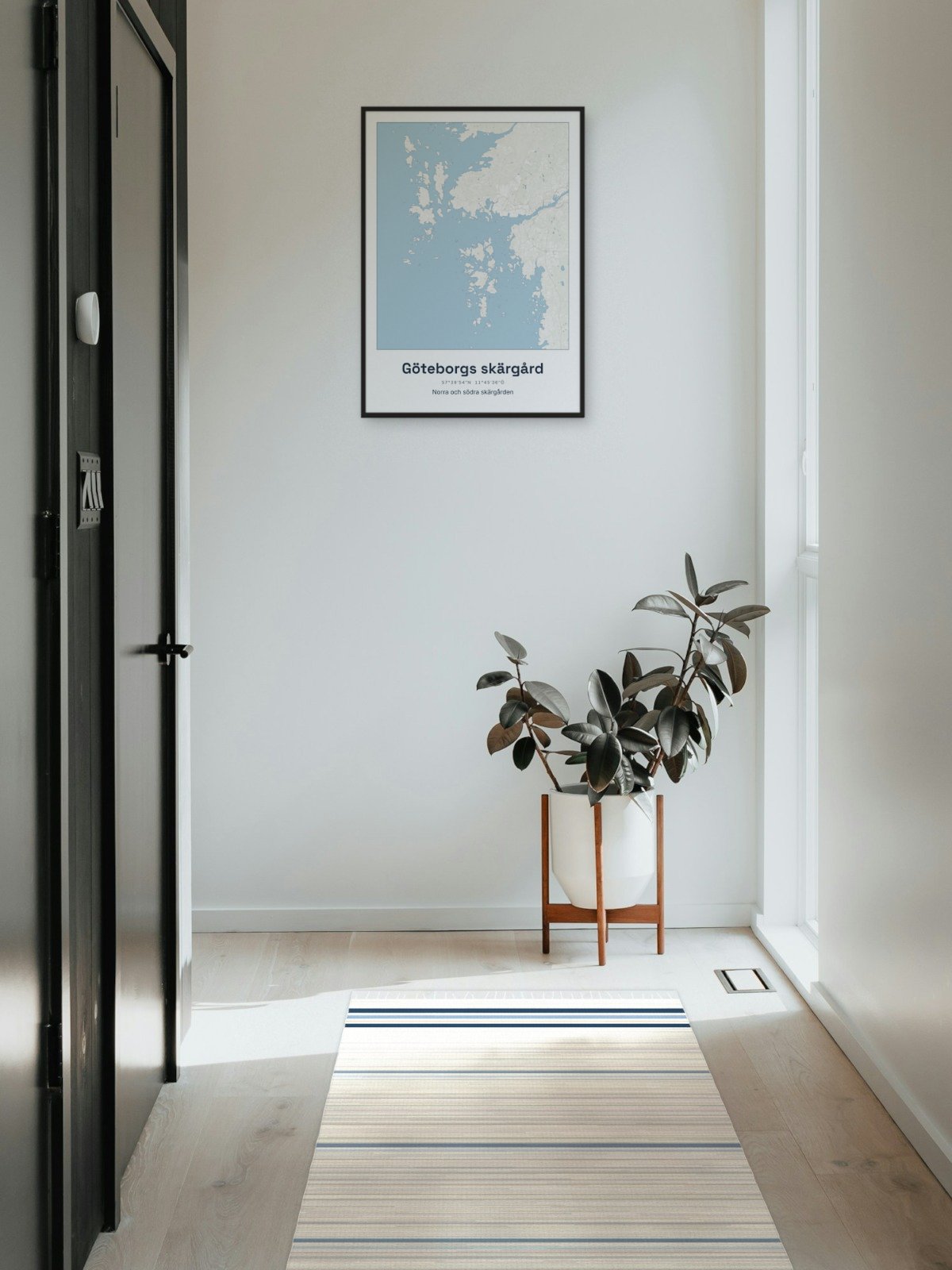
Framed on the wall 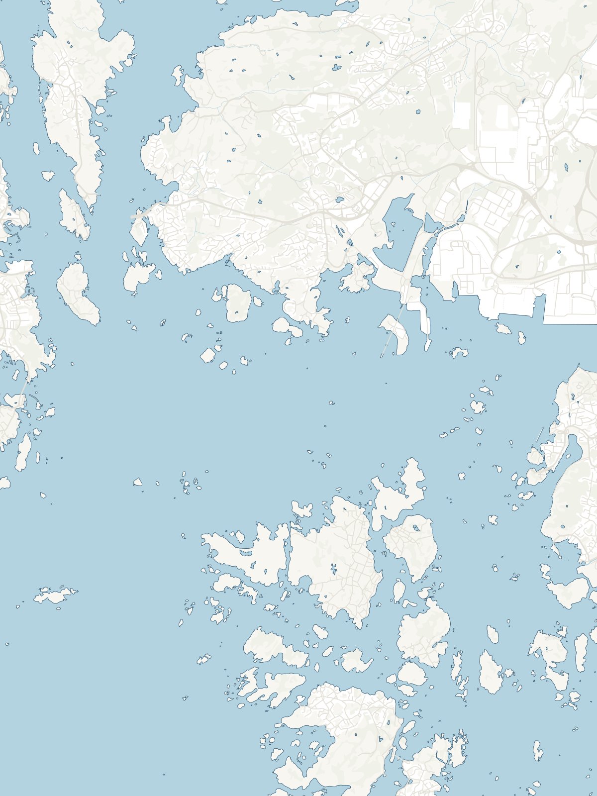
A close-up of the map