
Islands
Map of Koster as a poster
The Koster islands lie out at sea west of Strömstad, at the very top of northern Bohuslän. The boats from Strömstad go there all year round, and the trip takes about 45 minutes.
Around the islands lies Kosterhavet, which became the first marine national park in Sweden in 2009. The park covers almost 400 square kilometres, and most of it is sea.
The map shows Nordkoster and Sydkoster with all their bays and skerries, the islands around them, the Koster Fjord and the mainland coast with Strömstad. It is drawn in a style that recalls sea charts: white land, clear blue water and a dark blue coastline. The map has no place names or symbols, so the shape of the islands can show.
The map suits anyone with a summer house on Koster, anyone who sails along the coast in summer, or anyone who has cycled around the islands on a bright summer day. It is also a fine gift for someone who longs to go back to the outermost islands of the west coast.
The map comes in three colours: Sea chart as in the picture, Night and Sand. Choose the colour, the size and a frame if you like on the poster's page. It is printed when you order and sent straight to you.
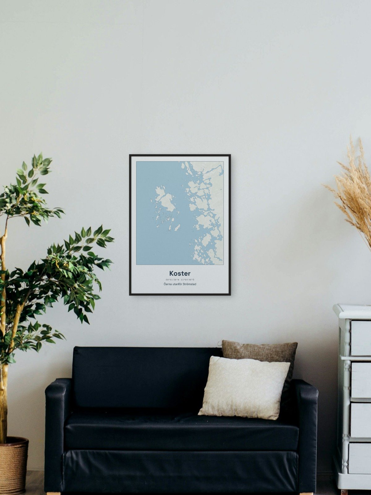
Framed on the wall 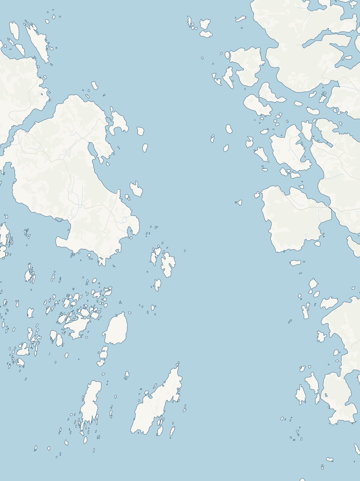
A close-up of the map