
Coasts and archipelagos
Map of Smögen and Sotenäs
Smögen is an island and a village at the outer end of Sotenäset, the peninsula in northern Bohuslän. Since 1970 the Smögen Bridge has led over to the mainland, and along the harbour runs Smögenbryggan, a wooden quay about 600 metres long.
The map shows all of Sotenäset, where Smögen, Kungshamn, Väjern, Hunnebostrand and Bovallstrand lie, and the islands and skerries out at sea, such as Hållö and Malmön.
It is drawn in a style that recalls sea charts: white land, clear blue water and a dark blue coastline. The map has no place names. The coast is so ragged that it takes a while to find your own bay.
The map suits anyone with a summer house on Sotenäset, anyone who has walked along Smögenbryggan on a summer evening, or anyone who grew up by the harbours there. It is also a fine gift for someone who misses the west coast.
The map comes in three colours: Sea chart as in the picture, Night and Sand. Choose the colour, the size and a frame if you like on the poster's page. It is printed when you order and sent straight to you.
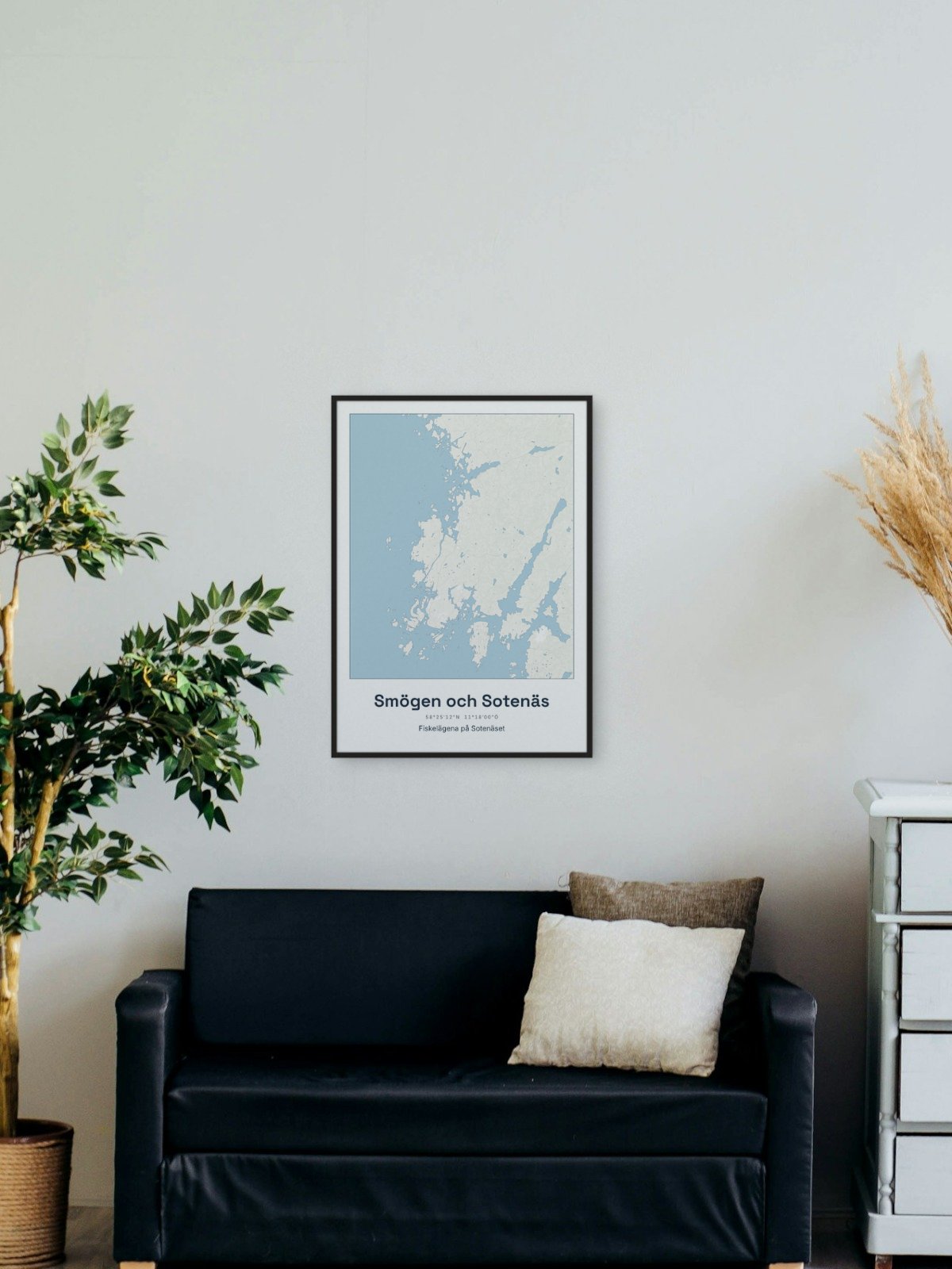
Framed on the wall 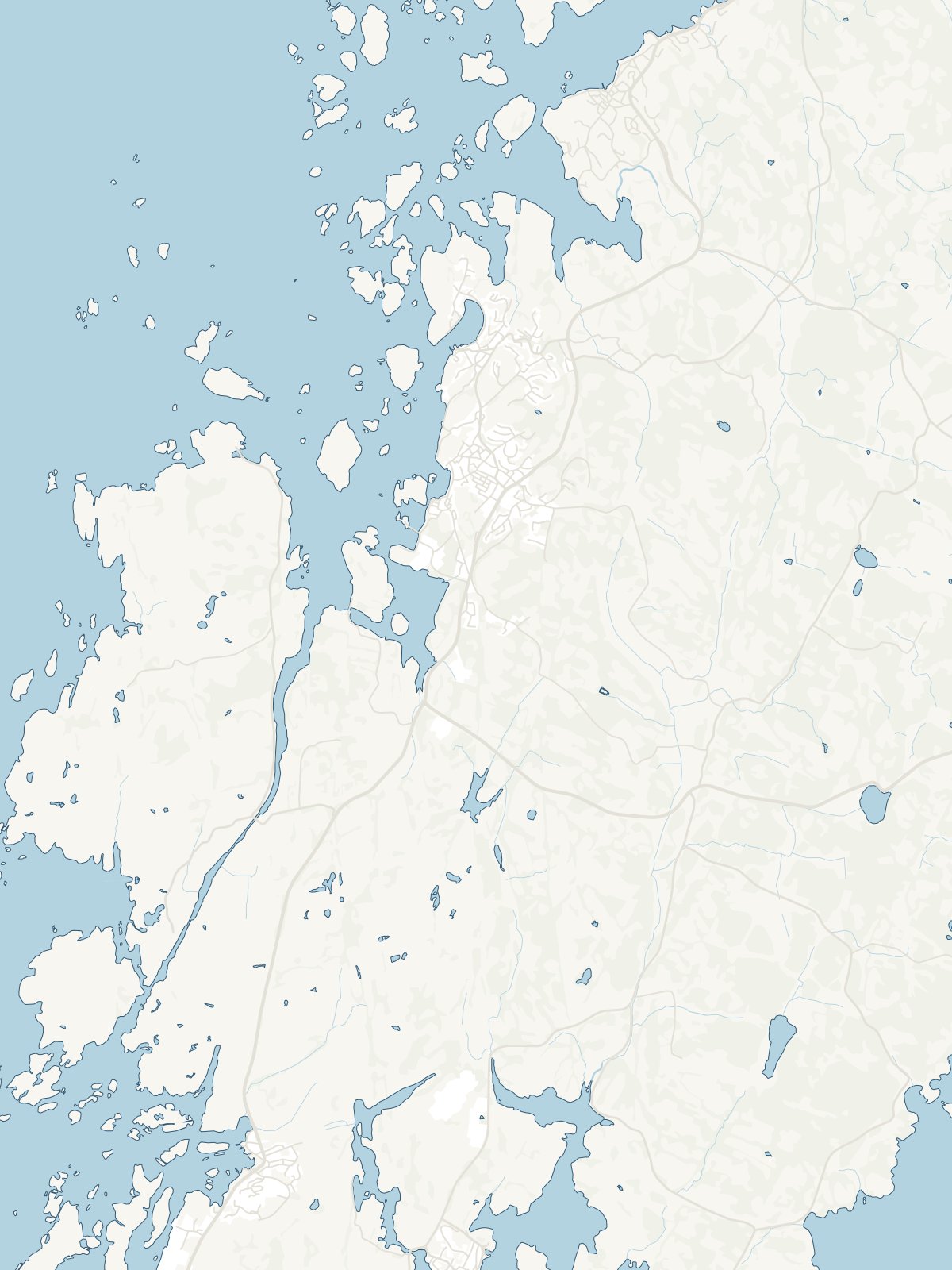
A close-up of the map