
Islands
Map of Marstrand as a poster
Marstrand lies on two islands in Kungälv municipality, Marstrandsön and Koön, by the sea north of Gothenburg. On Marstrandsön stands Carlsten Fortress, begun in 1658.
To get to Marstrandsön you take the ferry from Arvidsvik on Koön, a short trip across the sound. Koön has a road link to the mainland.
The map shows Marstrandsön and Koön and the islands and skerries around them. It is drawn in a style that recalls sea charts: white land, clear blue water and a dark blue coastline. The map has no place names. Marstrandsön is small, so the map shows the area up close, and every bay and islet stands out.
The map suits anyone who sails the west coast, anyone who has spent a summer in Marstrand, or anyone with a summer house on the islands. It is also a fine gift for someone who remembers light evenings in the harbour.
The map comes in three colours: Sea chart as in the picture, Night and Sand. Choose the colour, the size and a frame if you like on the poster's page. It is printed when you order and sent straight to you.
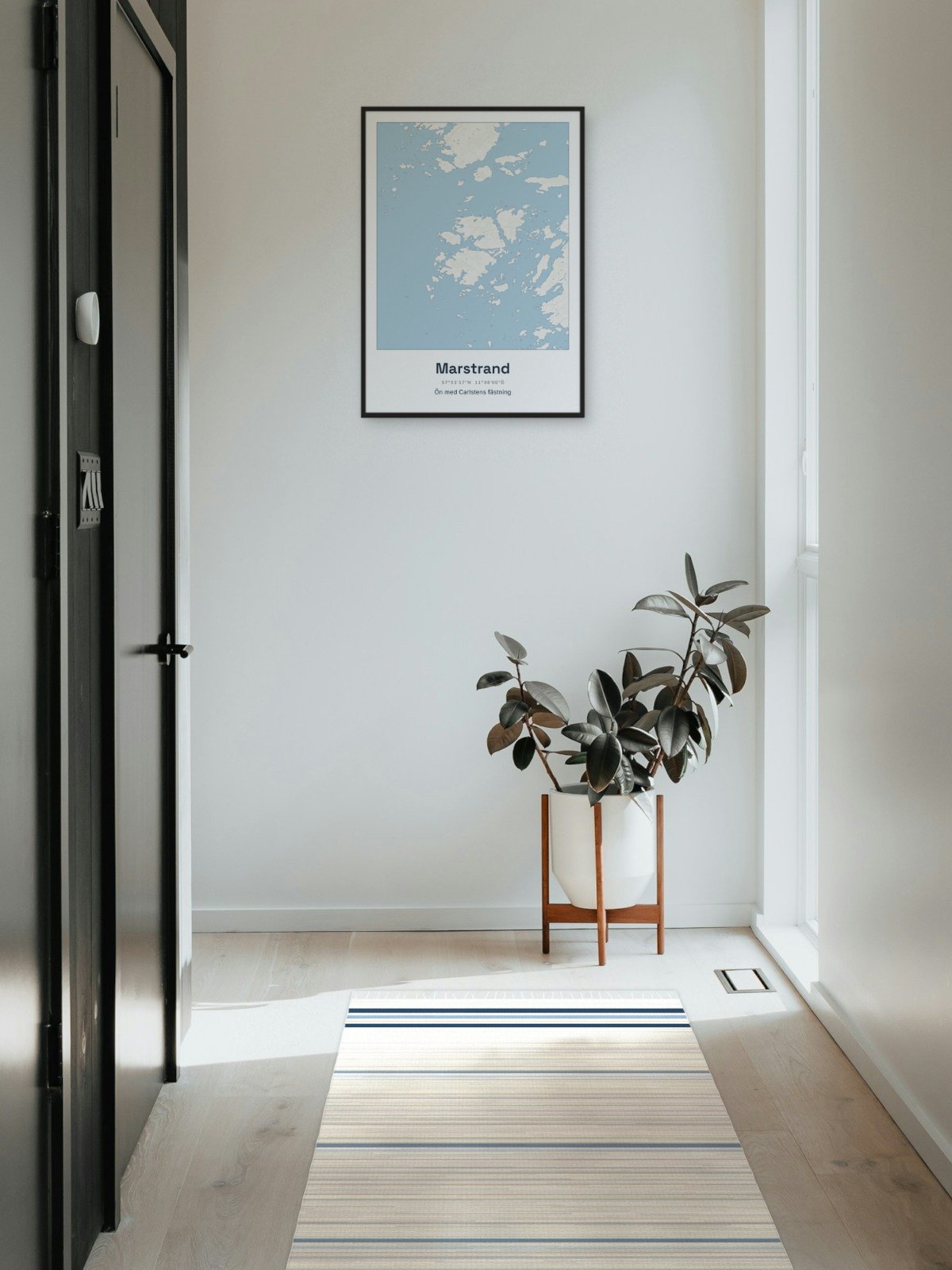
Framed on the wall 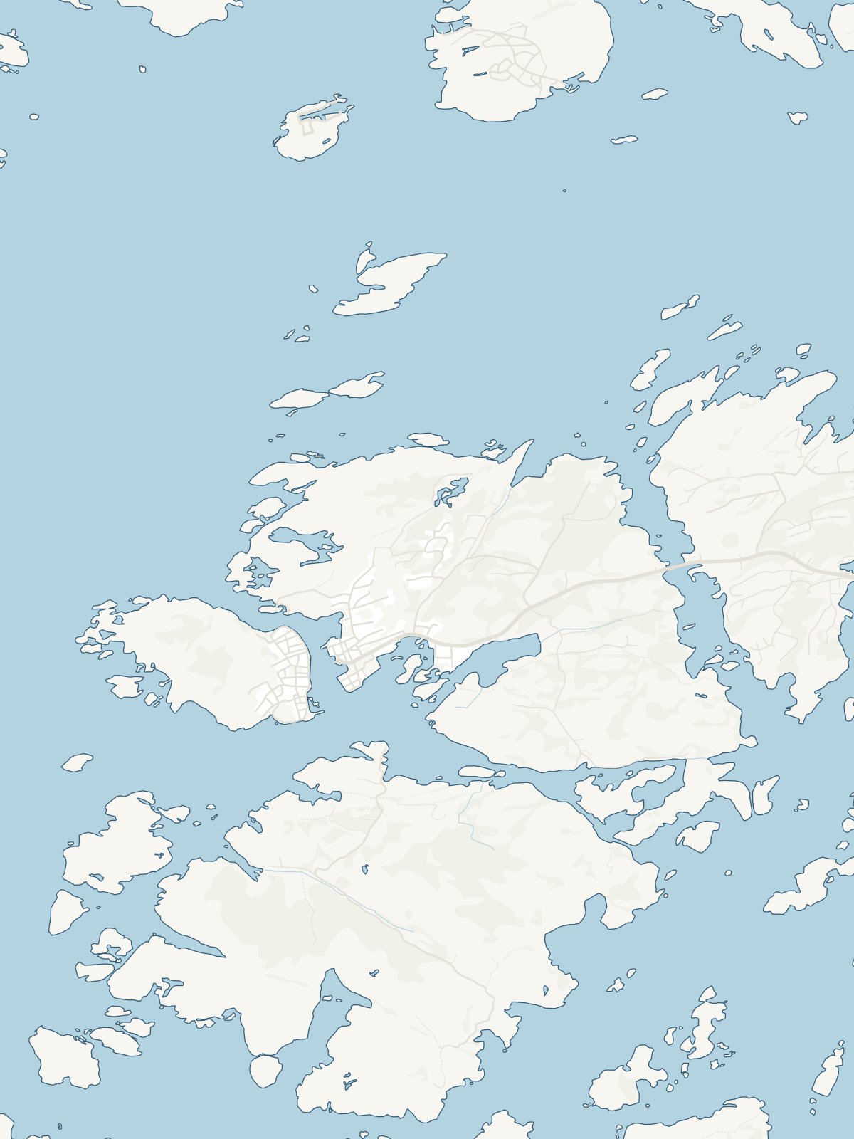
A close-up of the map