
Islands
Map of Styrsö as a poster
Styrsö with Bratten and Tången, and Donsö across the sound. The largest island of the southern archipelago, up close.
The map is drawn from Lantmäteriet's map data in the same calm style as all our maps. Every point, bay and islet shows, and the water around is clear blue. Under the map are the name, the coordinates and the line “Ön i Göteborgs södra skärgård” (the island in Gothenburg's southern archipelago).
Choose between three colours, Sea chart, Night and Sand, and between a poster and a framed print in two sizes. Each map is printed in Europe once you have ordered it.
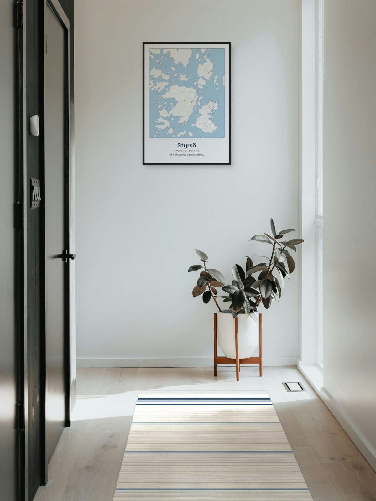
Framed on the wall 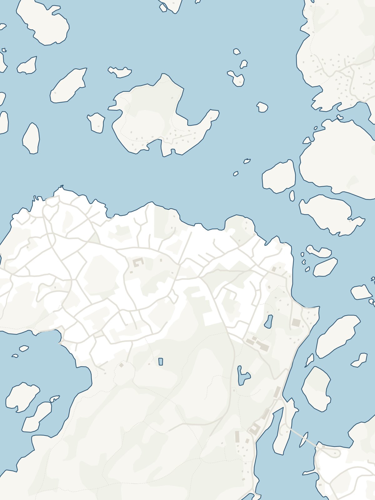
A close-up of the map