
Islands
Map of Orust as a poster
Orust is the largest island in Bohuslän and one of the largest in all of Sweden, about 344 square kilometres. The coast is ragged with deep bays, and around the island lie lots of smaller islands and skerries.
The map shows the whole island with the sounds and fjords around it: the Nötesund Bridge to the mainland and the neighbouring island of Tjörn to the south. You see the coastline, the lakes and the roads between places such as Henån, Ellös and Mollösund, drawn with white land, clear blue water and a dark blue coastline, in a style that recalls sea charts. The map has no place names.
The shape is what makes Orust so good on a wall. The bays cut deep into the island from every side, and out in the sea to the west the islands lie close together.
The map suits anyone with a summer house on Orust, a boat in one of its harbours or family on the island for generations. It is a simple gift that says something about a place you love, and it looks as good in a cottage as in a flat in town.
The map comes in three colours: Sea chart as in the picture, Night and Sand. Choose the colour, the size and a frame if you like on the poster's page. It is printed when you order and sent straight to you.
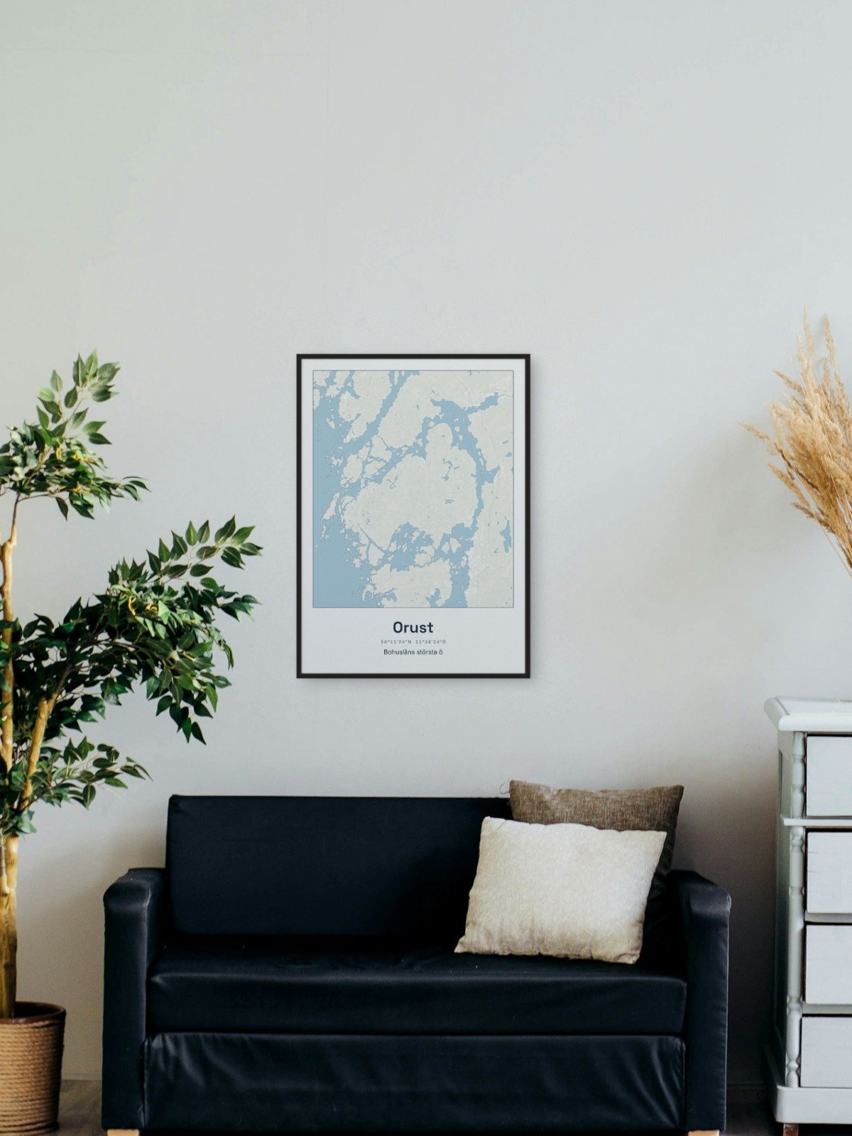
Framed on the wall 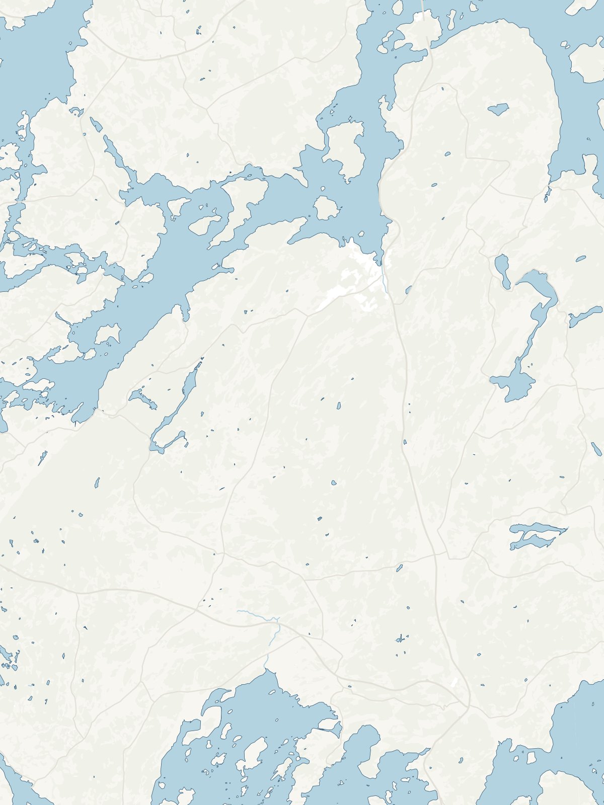
A close-up of the map